Burial Mounds · Undated
Grabhügel
- Listed monument


© GeoBasis-DE / LVermGeoRP, dl-de/by-2-0
There is no picture of this object yet. Do you have a photo that you would like to make available to the Kulturdatenbank? Submit a picture
Description
This description is only available in German.
Translate with Google opens this page in Google Translate (external service)
Fundstelle 1252
In der Nähe des Burberges wurden im frühen 20. Jahrhundert von mächtigen Steinkränzen umgebene Grabhügel beobachtet. Die Stelle ist nicht mehr genau lokalisierbar.
Gilles 1985, 185; Wigg 1993, 201
in: Römisch-Germanische Forschungen, Bd. 63. Eisenzeitlicher Kulturwandel und Romanisierung im Mosel-Eifel-Raum. Die keltisch-römische Siedlung von Wallendorf und ihr archäologisches Umfeld. Römisch-Germanische Kommission des Deutschen Archäologischen Instituts Frankfurt a. M. Fundstellenkatalog von: Dirk L. Krausse unter Mitarbeit von Antje Fischbock. 2006
Classification
- Subject area
- Archaeological Monuments
- Category
- Burials
- Object type
- Burial Mounds
- Date
- Undatiert
- Period
- Undated
Location
- District
- Vulkaneifel
- Collective municipality
- Daun
- Municipality
- Schutz
- Field name
- Hinterst Acker
- Coordinates
- WGS 84: 50.128749, 6.754239 (Position: exact) WGS 84: 50° 07′ 43.5″ N, 6° 45′ 15.3″ E UTM 32 (ETRS89): E 339490 · N 5555361
Sources
Data sources
- Fundstellenkatalog: Die keltisch-römische Siedlung von Wallendorf und ihr archäologisches Umfeld. Dirk L. Krausse unter Mitarbeit von Antje Fischbock. 2006
On the internet
Last edited: 9 Nov 2011 Object ID: 12395
https://kulturdb.de/en/objekt/12395-schutz-grabhuegel
Nearby
The nearest objects
Field Names
Bungert
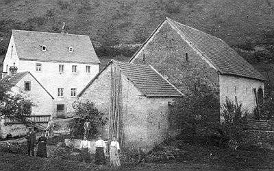 180 m
Mills
Regmühle
Field Names
Bornewies
Field Names
Aufm Bornreeg
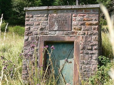 240 m
Water Supply
Wasserhochbehälter Aufm Bornreeg
Field Names
Junkerskaul und Horstenberg
Farmhouses and Farm Buildings
Trierer Quereinhaus
 540 m
Ridge-Edge Castles