Ironworks · Gothic
Eisenschmelze
Wüstung

Description
This description is only available in German.
Translate with Google opens this page in Google Translate (external service)
Im Lastert-Wald. Dort sind Reste einer mittelalterlichen Eisenschmelze sichtbar. [1]
Classification
- Subject area
- Archaeological Monuments
- Category
- Economy, Trade and Transport
- Object type
- Ironworks
- Date
- Circa 1100 bis circa 1500
- Period
- Gothic
Location
- District
- Trier-Saarburg
- Collective municipality
- Trier-Land
- Municipality
- Zemmer
- Locality / location
- Schleidweiler
- Field name
- Auf dem Sonnenberg
- Coordinates
- WGS 84: 49.884330, 6.673697 (Position: presumed) WGS 84: 49° 53′ 03.6″ N, 6° 40′ 25.3″ E UTM 32 (ETRS89): E 332889 · N 5528365
Sources
Data sources
- [1] Janssen, W.: Studien zur Wüstungsfrage im fränkischen Altsiedelland zwischen Rhein, Mosel und Eifelnordrand. 2 Bände. Text u. Katalog, 1975.
On the internet
Picture credits
- Picture 1: Internet
Last edited: 31 May 2020 Object ID: 1244
https://kulturdb.de/en/objekt/1244-zemmer-eisenschmelze
Nearby
The nearest objects
No picture
210 m
Field Names
Werthwies
No picture
360 m
Field Names
Im Rosengarten
No picture
390 m
Field Names
Nieder-Pilsbornwies
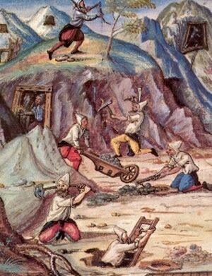 460 m
Ironworks
Eisenschmelze
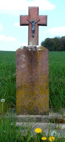 460 m
Wayside Shrines and Stations of the Cross
Quertner Kreuzchen
No picture
640 m
Cremation Graves
Römisches Brandgrab
No picture
740 m
Field Names
Bei der Sauerwies
No picture
760 m
Settlements