Ironworks · Gothic
Eisenschmelze
Wüstung

Description
This description is only available in German.
Translate with Google opens this page in Google Translate (external service)
Am alten Weg nach Zemmer. Hier finden sich die Reste eines Eisenverhüttungsbezirks. [1]
Classification
- Subject area
- Archaeological Monuments
- Category
- Economy, Trade and Transport
- Object type
- Ironworks
- Date
- Circa 1100 bis circa 1500
- Period
- Gothic
Location
- District
- Trier-Saarburg
- Collective municipality
- Trier-Land
- Municipality
- Zemmer
- Locality / location
- Schleidweiler-Rodt
- Field name
- Bei dem Quertnerkreuzchen
- Coordinates
- WGS 84: 49.888274, 6.675701 (Position: presumed) WGS 84: 49° 53′ 17.8″ N, 6° 40′ 32.5″ E UTM 32 (ETRS89): E 333046 · N 5528799
Sources
Data sources
- [1] Janssen, W.: Studien zur Wüstungsfrage im fränkischen Altsiedelland zwischen Rhein, Mosel und Eifelnordrand. 2 Bände. Text u. Katalog, 1975.
On the internet
Picture credits
- Picture 1: Internet
Last edited: 20 Apr 2014 Object ID: 1245
https://kulturdb.de/en/objekt/1245-zemmer-eisenschmelze
Nearby
The nearest objects
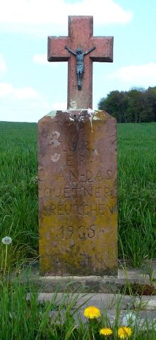 320 m
Wayside Shrines and Stations of the Cross
Quertner Kreuzchen
No picture
330 m
Burial Mounds
Grabhügel
No picture
360 m
Burial Mounds
Grabhügel
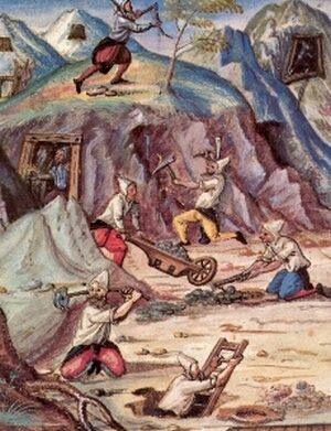 460 m
Ironworks
Eisenschmelze
No picture
490 m
Field Names
Auf der Acht
No picture
500 m
Settlements
Vermutete Villa mit Nebengebäude
No picture
640 m
Field Names
Werthwies
No picture
800 m
Field Names