Burial Mounds · Celtic / Roman Period
Grabhügel
- Listed monument


© GeoBasis-DE / LVermGeoRP, dl-de/by-2-0
There is no picture of this object yet. Do you have a photo that you would like to make available to the Kulturdatenbank? Submit a picture
Description
This description is only available in German.
Translate with Google opens this page in Google Translate (external service)
Fundstelle 1264
Östlich von Steineberg, nördlich der Steineberger Ley, sollen vor 1852 mehrere Grabhügel zerstört worden sein. Es wird von römischen Objekten berichtet, die sich in einem Hügel fanden. Die Lage der Tumuli ist nicht mehr genau zu ermitteln.
Koethe 1939, 131; Ost 1854, 258; Wigg 1993, 198 Nr. 59
in: Römisch-Germanische Forschungen, Bd. 63. Eisenzeitlicher Kulturwandel und Romanisierung im Mosel-Eifel-Raum. Die keltisch-römische Siedlung von Wallendorf und ihr archäologisches Umfeld. Römisch-Germanische Kommission des Deutschen Archäologischen Instituts Frankfurt a. M. Fundstellenkatalog von: Dirk L. Krausse unter Mitarbeit von Antje Fischbock. 2006
Classification
- Subject area
- Archaeological Monuments
- Category
- Burials
- Object type
- Burial Mounds
- Date
- Circa 500 vor Chr. bis circa 500 nach Chr.
- Period
- Celtic / Roman Period
Location
- District
- Vulkaneifel
- Collective municipality
- Daun
- Municipality
- Steineberg
- Field name
- Hinter Vönnekau
- Coordinates
- WGS 84: 50.181755, 6.919986 (Position: exact) WGS 84: 50° 10′ 54.3″ N, 6° 55′ 11.9″ E UTM 32 (ETRS89): E 351500 · N 5560910
Sources
Data sources
- - Fundstellenkatalog: Die keltisch-römische Siedlung von Wallendorf und ihr archäologisches Umfeld. Dirk L. Krausse unter Mitarbeit von Antje Fischbock, 2006.
- - Dirk Krausse: Eisenzeitlicher Kulturwandel und Romanisierung im Mosel-Eifel-Raum. Verlag: Philipp von Zabern, Mainz, 2006. Beilage 1.
On the internet
Last edited: 2 Feb 2012 Object ID: 13024
https://kulturdb.de/en/objekt/13024-steineberg-grabhuegel
Nearby
The nearest objects
Wayside Shrines and Stations of the Cross
Wegekreuz
Field Names
Im Seitert
Wayside Shrines and Stations of the Cross
Wegekreuz
Field Names
Im Stierpesch
Volcanoes
Vulkan Steineberger Ley
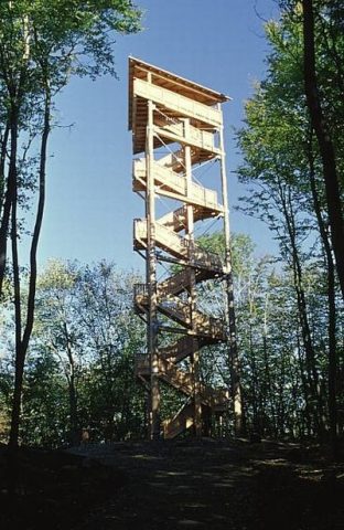 410 m
Observation Towers
Vulcano Infoplattform
Viewpoints
Aussichtspunkt
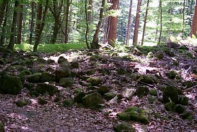 430 m
Rocks