Deserted Settlements · Neoclassicism
Altenacker


© GeoBasis-DE / LVermGeoRP, dl-de/by-2-0
There is no picture of this object yet. Do you have a photo that you would like to make available to the Kulturdatenbank? Submit a picture
Description
This description is only available in German.
Translate with Google opens this page in Google Translate (external service)
Im heute unbewohnten "Altenacker" entstand ebenfalls 1832 eine Ansiedlung aus mehreren Häusern. Name und Lage lassen auf eine frühe Nutzung als Ackerland schließen. [1]
Classification
- Subject area
- Archaeological Monuments
- Category
- Settlements
- Object type
- Deserted Settlements
- Date
- 1832
- Period
- Neoclassicism
Location
- District
- Vulkaneifel
- Collective municipality
- Gerolstein
- Municipality
- Mürlenbach
- Locality / location
- Hanert
- Field name
- Ortslage
- Coordinates
- WGS 84: 50.156109, 6.634450 (Position: exact) WGS 84: 50° 09′ 22.0″ N, 6° 38′ 04.0″ E UTM 32 (ETRS89): E 331026 · N 5558667
Sources
Data sources
- [1] Geschichtliches aus Mürlenbach von Ernst Becker.
- [2] Topographische Karte von 1890.
On the internet
Last edited: 5 May 2014 Object ID: 13406
https://kulturdb.de/en/objekt/13406-muerlenbach-altenacker
Nearby
The nearest objects
Box Trees
Altenacker - Palmengarten
Field Names
Auf vorderst Seizendell
Surveying
Trigonometrisches Signal Seizendell
 350 m
Wayside Shrines and Stations of the Cross
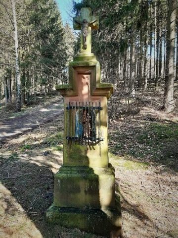
Nischenkreuz
 380 m
Field Names
Im Tiergarten
Field Names
Beim Heischerborn
Cremation Graves
Römisches Steinplattengrab
Field Names