Volcanoes · 20th Century
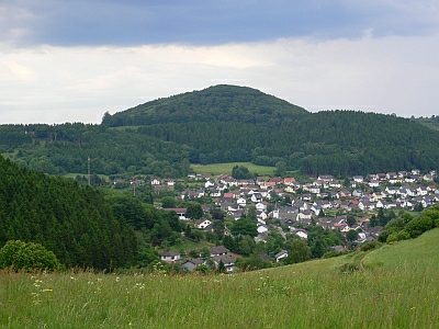
Vulkan Nerother Kopf
Naturdenkmal
- Listed monument


Description
This description is only available in German.
Translate with Google opens this page in Google Translate (external service)
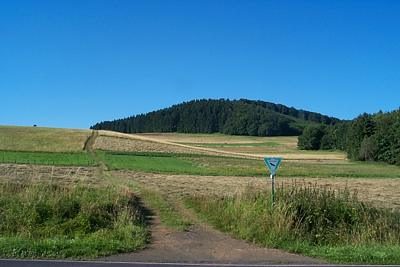
647 Meter über Normal-Null;
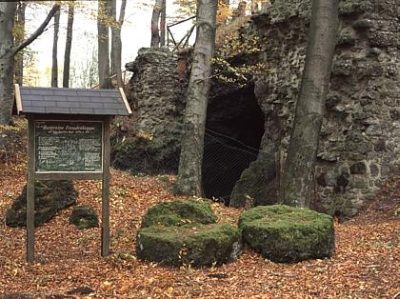
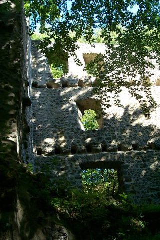
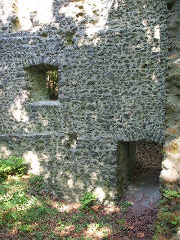
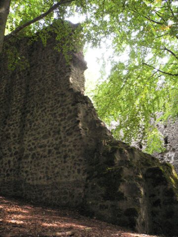
Der geschützte teil enthält auf einer Fläche von 1,9 Hektar Lavafelsen, eine Höhle und Reste der "Freudenkoppe", "Ruine Neroth" oder "Neroburg".
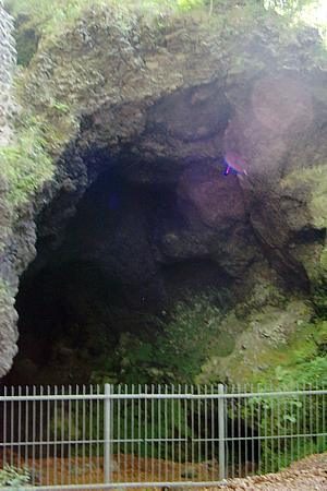
Diese Burg gehört zu der großen Zahl von Befestigungen, die Johann, König von Böhmen (†1346) hatte erbauen lassen. Die Höhlen entstanden durch den Bruch von Mühlsteinen. [1]
Classification
- Subject area
- Natural Features
- Category
- Geological Features
- Object type
- Volcanoes
- Date
- 12.09.1941 [Unterschutzstellung]
- Period
- 20th Century
Location
- District
- Vulkaneifel
- Town
- Daun
- Locality / location
- Neunkirchen
- Field name
- Nerother Kopf
- Coordinates
- WGS 84: 50.193867, 6.760463 (Position: exact) WGS 84: 50° 11′ 37.9″ N, 6° 45′ 37.7″ E UTM 32 (ETRS89): E 340153 · N 5562587
Sources
Data sources
- [1] Rita Gehendges: Naturdenkmale des Landkreises Daun. 1985. Hrsg.: Landkreis Daun.
On the internet
eifeltour.de/Texte/Geologie/Berge/Nerother%20Kopf.htm
Picture credits
Last edited: 7 Aug 2013 Object ID: 13541
https://kulturdb.de/en/objekt/13541-daun-vulkan-nerother-kopf
Nearby
The nearest objects
 20 m
Volcanoes
Nerother Kopf
 30 m
Extraction and Processing of Raw Materials
Mühlsteinbruch am Nerother Kopf
 40 m
Caves
Mühlsteinhöhle auf dem Nerother Kopf
 50 m
Castles
Burg Freudenkoppe - Burghaus
 70 m
Castles
Burg Freudenkoppe - Wüstung
 70 m
Chartered Towns
Burg Freudenkoppe - Stadtrechte
Extraction and Processing of Raw Materials
Mühlsteinbruch am Nerother Kopf
 360 m
Extraction and Processing of Raw Materials