Deserted Settlements · Gothic
Dorfwüstung Bach


© GeoBasis-DE / LVermGeoRP, dl-de/by-2-0
There is no picture of this object yet. Do you have a photo that you would like to make available to the Kulturdatenbank? Submit a picture
Description
This description is only available in German.
Translate with Google opens this page in Google Translate (external service)
[...] Im 14. Jahrhundert ist Schönberg mitsamt der Wüstung "Bach" Lehen der Vögte von Hunolstein. [...] Die Zeit des Wüstfallens liegt vermutlich am ende des 15. Jahrhunderts. Konkrete Gründ für das Wüstwerden sind nicht bekannt. [...]
Classification
- Subject area
- Archaeological Monuments
- Category
- Settlements
- Object type
- Deserted Settlements
- Date
- 14. Jahrhundert
- Period
- Gothic
Location
- District
- Bernkastel-Wittlich
- Collective municipality
- Thalfang am Erbeskopf
- Municipality
- Schönberg
- Field name
- Unterm Hohlweg
- Coordinates
- WGS 84: 49.756432, 6.936591 (Position: presumed) WGS 84: 49° 45′ 23.2″ N, 6° 56′ 11.7″ E UTM 32 (ETRS89): E 351381 · N 5513593
Sources
Data sources
- Robert Schmitz: Die Dorfwüstung "Bach" bei Schönberg. Jahr buch 1988 für den Kreis Bernkastel-Wittlich.
On the internet
erbeskopf.de/verwaltung-politik/ortsgemeinden/schoenberg.html
Last edited: 10 Jan 2008 Object ID: 13807
https://kulturdb.de/en/objekt/13807-schoenberg-dorfwuestung-bach
Nearby
The nearest objects
Field Names
Unter der Glaus
Field Names
In der Hostert
Wayside Shrines and Stations of the Cross
Wegekreuz
 530 m
Catering, Inns and Hotels
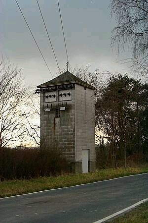
Trafostation
 570 m
Standing Stones, Menhirs
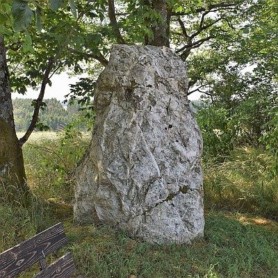
Menhir an der Trafostation
Field Names
In der Acht
Field Names
Vor Hostert
Wayside Shrines and Stations of the Cross