Field Names · Undated
In der Hostert


© GeoBasis-DE / LVermGeoRP, dl-de/by-2-0
There is no picture of this object yet. Do you have a photo that you would like to make available to the Kulturdatenbank? Submit a picture
Description
This description is only available in German.
Translate with Google opens this page in Google Translate (external service)
Hostert wird meist als eine durch Zersprechung entstandene Nebenform zu Hofstatt, Hofstätte aufgefasst ‚Ort, wo ein Hof steht, stand oder stehen soll; ausgegangener Hof‘. Ebensogut ist aber auch in einzelnen Fällen eine Ableitung von Hausstatt oder von Hochstatt möglich.
Classification
- Subject area
- History
- Category
- Field Names
- Date
- Undatiert
- Period
- Undated
Location
- District
- Bernkastel-Wittlich
- Collective municipality
- Thalfang am Erbeskopf
- Municipality
- Schönberg
- Field name
- In der Hostert
- Coordinates
- WGS 84: 49.758699, 6.934404 (Position: exact) WGS 84: 49° 45′ 31.3″ N, 6° 56′ 03.9″ E UTM 32 (ETRS89): E 351230 · N 5513850
Sources
Data sources
- Südhessisches Flurnamenbuch http://www.lagis-hessen.de/de/subjects/gsrec/id/1677/current/1/sn/s…
On the internet
erbeskopf.de/verwaltung-politik/ortsgemeinden/schoenberg.html
Last edited: 8 Jun 2013 Object ID: 27910
https://kulturdb.de/en/objekt/27910-schoenberg-in-der-hostert
Nearby
The nearest objects
Deserted Settlements
Dorfwüstung Bach
 360 m
Catering, Inns and Hotels
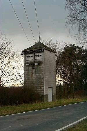
Trafostation
Field Names
Unter der Glaus
 430 m
Standing Stones, Menhirs
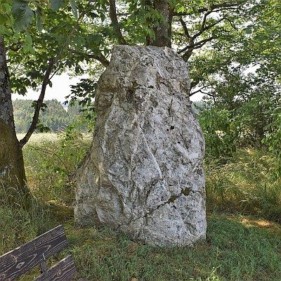
Menhir an der Trafostation
 530 m
Wayside Shrines and Stations of the Cross
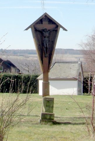
Wegekreuz an der Kreisstraße 108
Field Names
Vor Hostert
Chapels
Kapelle an der Kreisstraße 108
Field Names