Wayside Shrines and Stations of the Cross · Undated
Wegekreuz an der Kreisstraße 108


Classification
- Subject area
- Architectural and Art Monuments
- Category
- Religious Buildings
- Object type
- Wayside Shrines and Stations of the Cross
- Date
- Undatiert
- Period
- Undated
Location
- District
- Bernkastel-Wittlich
- Collective municipality
- Thalfang am Erbeskopf
- Municipality
- Schönberg
- Field name
- Auf der Sauwühl
- Coordinates
- WGS 84: 49.756863, 6.927637 (Position: exact) WGS 84: 49° 45′ 24.7″ N, 6° 55′ 39.5″ E UTM 32 (ETRS89): E 350737 · N 5513659
Sources
Data sources
- [1] GeoPortal des Landes Rheinland-Pfalz. http://www.geoportal.rlp.de/
On the internet
erbeskopf.de/verwaltung-politik/ortsgemeinden/schoenberg.html
Picture credits
Last edited: 30 Apr 2024 Object ID: 25396
https://kulturdb.de/en/objekt/25396-schoenberg-wegekreuz-an-der-kreisstrasse-108
Nearby
The nearest objects
No picture
40 m
Chapels
Kapelle an der Kreisstraße 108
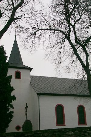 170 m
Catholic Churches
Sankt Vitus
No picture
440 m
Wayside Shrines and Stations of the Cross
Wegekreuz
No picture
530 m
Field Names
In der Hostert
No picture
590 m
Field Names
Unter der Glaus
No picture
700 m
Mills
Ehemalige Gätsch-Mühle am Mühlenbach
No picture
830 m
Extraction and Processing of Raw Materials
Ehemaliger Schiefer-Bruch Edersberg
No picture
870 m
Field Names