Settlements · Celtic / Roman Period
Römische Siedlungsstelle und Gräberfeld


© GeoBasis-DE / LVermGeoRP, dl-de/by-2-0
There is no picture of this object yet. Do you have a photo that you would like to make available to the Kulturdatenbank? Submit a picture
Description
This description is only available in German.
Translate with Google opens this page in Google Translate (external service)
[...] Nördlich vom Ort, wenig südlich der Römerstraße liegen Streufunde einer Siedlung im Distrikt "Altwies". Unweit davon liegt anscheinend ein Gräberfeld. [1]
Classification
- Subject area
- Archaeological Monuments
- Category
- Settlements
- Object type
- Settlements
- Date
- Circa 500 vor Chr. bis circa 500 nach Chr.
- Period
- Celtic / Roman Period
Location
- District
- Bernkastel-Wittlich
- Collective municipality
- Thalfang am Erbeskopf
- Municipality
- Talling
- Field name
- Ober der Altwies
- Coordinates
- WGS 84: 49.765928, 6.950696 (Position: presumed) WGS 84: 49° 45′ 57.3″ N, 6° 57′ 02.5″ E UTM 32 (ETRS89): E 352426 · N 5514621
Sources
Data sources
- [1] Die Kunstdenkmäler der Rheinprovinz. Bd. 15. Die Kunstdenkmäler des Kreises Bernkastel, (1935).
On the internet
Last edited: 15 Jan 2008 Object ID: 13825
https://kulturdb.de/en/objekt/13825-talling-roemische-siedlungsstelle-und-graeberfeld
Nearby
The nearest objects
Field Names
Beim Hübelborn
Field Names
Ober den Erzkaulen
 530 m
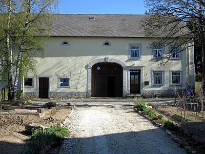
Farmhouses and Farm Buildings
Quereinhaus
 590 m
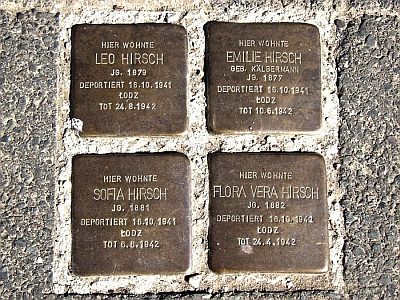
Stolpersteine (Stumbling Stones)
Stolperstein für Leo Hirsch
590 m
Stolpersteine (Stumbling Stones)
Stolperstein für Emilie Hirsch
590 m
Stolpersteine (Stumbling Stones)
Stolperstein für Sofia Hirsch
590 m
Stolpersteine (Stumbling Stones)
Stolperstein für Flora Vera Hirsch
 640 m
Market Towns