Settlements · Celtic / Roman Period
Römischer Gutshof


© GeoBasis-DE / LVermGeoRP, dl-de/by-2-0
There is no picture of this object yet. Do you have a photo that you would like to make available to the Kulturdatenbank? Submit a picture
Description
This description is only available in German.
Translate with Google opens this page in Google Translate (external service)
Ein römischer Gutshof, anscheinend von größerer Ausdehnung, lag an der Stelle des heutigen Friedhofes, wenig über dem Moselbett. Etwa 200 m weiter nach Westen, vor dem Bacheinschnitt, sind römische Reste festgestellt. Die Erdwelle zwischen den beiden Bacheinschnitten scheint von einer größeren Anlage bebaut gewesen zu sein. [1]
Classification
- Subject area
- Archaeological Monuments
- Category
- Settlements
- Object type
- Settlements
- Date
- Circa 500 vor Chr. bis circa 500 nach Chr.
- Period
- Celtic / Roman Period
Location
- District
- Bernkastel-Wittlich
- Collective municipality
- Bernkastel-Kues
- Municipality
- Lösnich
- Field name
- Ober der Burg
- Coordinates
- WGS 84: 49.974886, 7.039598 (Position: exact) WGS 84: 49° 58′ 29.6″ N, 7° 02′ 22.6″ E UTM 32 (ETRS89): E 359435 · N 5537680
Sources
Data sources
- [1] Die Kunstdenkmäler der Rheinprovinz. Bd. 15. Die Kunstdenkmäler des Kreises Bernkastel, (1935).
On the internet
Last edited: 16 Jan 2008 Object ID: 13838
https://kulturdb.de/en/objekt/13838-loesnich-roemischer-gutshof
Nearby
The nearest objects
War Memorials
Friedhofskreuz
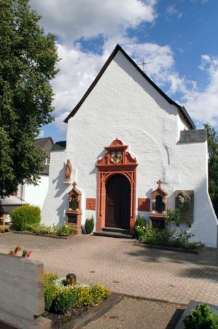 20 m
Chapels
Friedhofskapelle - Außen
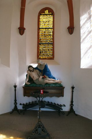 20 m
Chapels
Friedhofskapelle - Innen
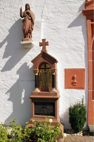 20 m
Burial Sites
Friedhofskapelle - Bildstöcke und Grabkreuze
Wayside Shrines and Stations of the Cross
Kreuzigungsbildstock
Farmhouses and Farm Buildings
Wohnhaus
Field Names
Aufm Weidenrech
Field Names