Deserted Settlements · Renaissance
Wüstung Lenschert


© GeoBasis-DE / LVermGeoRP, dl-de/by-2-0
There is no picture of this object yet. Do you have a photo that you would like to make available to the Kulturdatenbank? Submit a picture
Description
This description is only available in German.
Translate with Google opens this page in Google Translate (external service)
[...] Nach dem Überqueren der Kreisstraße geht es wieder aufwärts auf den Mühlenberg und das Gelände der Wüstung Lenschert nördlich von Merscheid. Dieses ehemalige Dorf dürfte im Dreißigjährigen Krieg untergegangen oder die Bewohner in den geschützter gelegenen Ort Merscheid umgezogen sein. [1]
Classification
- Subject area
- Archaeological Monuments
- Category
- Settlements
- Object type
- Deserted Settlements
- Date
- Circa 1500 bis circa 1700
- Period
- Renaissance
Location
- District
- Bernkastel-Wittlich
- Collective municipality
- Einheitsgemeinde Morbach
- Municipality
- Morbach
- Locality / location
- Merscheid
- Field name
- An den Erdkaulen
- Coordinates
- WGS 84: 49.827188, 7.057080 (Position: exact) WGS 84: 49° 49′ 37.9″ N, 7° 03′ 25.5″ E UTM 32 (ETRS89): E 360263 · N 5521228
Sources
Data sources
- [1] Berthold Staudt: Der Honolsteiner Weg. Historische Wegeverbindung von der Burg Hunolstein zur Burg Landshut. http://www.morbach.de/tourismus/PDF_Tourismus/Wandern_Hunolsteinerw…
On the internet
Last edited: 17 Jan 2008 Object ID: 13845
https://kulturdb.de/en/objekt/13845-morbach-wuestung-lenschert
Nearby
The nearest objects
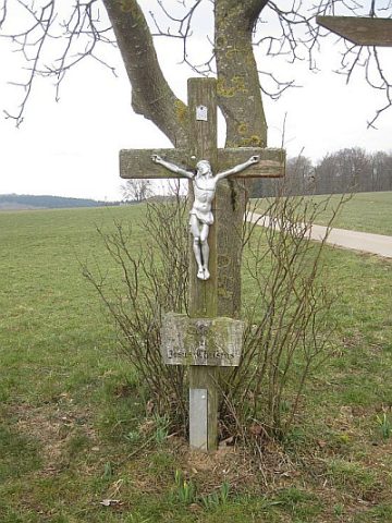 410 m
Wayside Shrines and Stations of the Cross
Wegekreuz
Mills
Mahlmühle Karl Staudt am Hölzbach
Mills
Schneidmühle am Hölzbach
Mills
Schrenksmühle
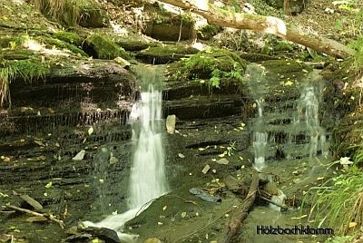 530 m
Waterfalls
Hölzbachklamm
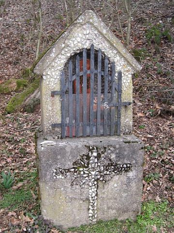 550 m
Wayside Shrines and Stations of the Cross
Bildstock beim Hohleboom
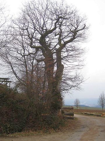 560 m
Oaks
Hohleboom - Eiche
Wayside Shrines and Stations of the Cross