Oaks · Undated
Hohleboom - Eiche
- Listed monument


Classification
- Subject area
- Natural Features
- Category
- Trees
- Object type
- Oaks
- Date
- Undatiert
- Period
- Undated
Location
- District
- Bernkastel-Wittlich
- Collective municipality
- Einheitsgemeinde Morbach
- Municipality
- Morbach
- Locality / location
- Merscheid
- Field name
- Auf der Heide
- Coordinates
- WGS 84: 49.832187, 7.056390 (Position: exact) WGS 84: 49° 49′ 55.9″ N, 7° 03′ 23.0″ E UTM 32 (ETRS89): E 360227 · N 5521785
Sources
Data sources
- [1] Wanderkarten im Maßstab 1:50.000 und 1:25.000.
On the internet
Picture credits
Last edited: 5 May 2018 Object ID: 2568
https://kulturdb.de/en/objekt/2568-morbach-hohleboom-eiche
Nearby
The nearest objects
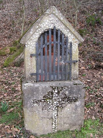 20 m
Wayside Shrines and Stations of the Cross
Bildstock beim Hohleboom
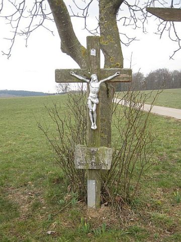 350 m
Wayside Shrines and Stations of the Cross
Wegekreuz
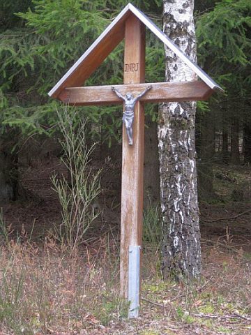 440 m
Wayside Shrines and Stations of the Cross
Wegekreuz
No picture
560 m
Deserted Settlements
Wüstung Lenschert
No picture
730 m
Mills
Schrenksmühle
No picture
800 m
Mills
Mahlmühle Karl Staudt am Hölzbach
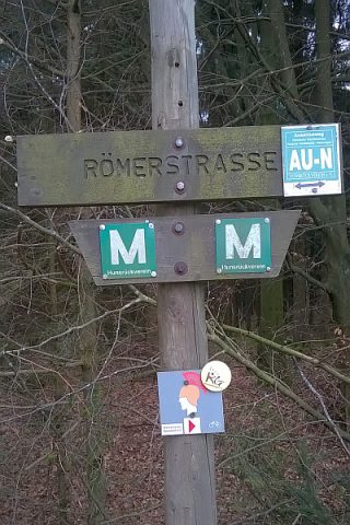 850 m
Road Transport
Spuren der Ausoniusstraße
No picture
880 m
Mills