Road Transport · Celtic / Roman Period
Spuren der Ausoniusstraße


Description
This description is only available in German.
Translate with Google opens this page in Google Translate (external service)
Die Ausoniusstraße oder der Ausoniusweg war eine römische Straße, die von Trier über den Hunsrück nach Bingen am Rhein zur Rheintalstraße und damit weiter nach Mainz (Mogontiacum) führte. Die Strecke ist heute als Wanderweg erschlossen, der vom Hunsrückverein betreut wird. Das Wanderzeichen ist ein weißes AU auf grünem Grund. [1]
Classification
- Subject area
- Archaeological Monuments
- Category
- Economy, Trade and Transport
- Object type
- Road Transport
- Date
- Circa 500 vor Chr. bis circa 500 nach Chr.
- Period
- Celtic / Roman Period
Location
- District
- Bernkastel-Wittlich
- Collective municipality
- Einheitsgemeinde Morbach
- Municipality
- Morbach
- Locality / location
- Elzerath
- Field name
- Im Buchenwald
- Coordinates
- WGS 84: 49.839730, 7.058150 (Position: exact) WGS 84: 49° 50′ 23.0″ N, 7° 03′ 29.3″ E UTM 32 (ETRS89): E 360376 · N 5522620
Sources
Data sources
- [1] Seite "Ausoniusstraße". In: Wikipedia, Die freie Enzyklopädie. Bearbeitungsstand: 22. Dezember 2015, 11:16 UTC. URL: https://de.wikipedia.org/w/index.php?title=Ausoniusstra%C3%9Fe&oldi… (Abgerufen: 21. März 2016, 14:00 UTC)
On the internet
Picture credits
Last edited: 21 Mar 2016 Object ID: 40819
https://kulturdb.de/en/objekt/40819-morbach-spuren-der-ausoniusstrasse
Nearby
The nearest objects
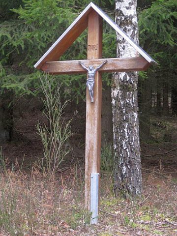 750 m
Wayside Shrines and Stations of the Cross
Wegekreuz
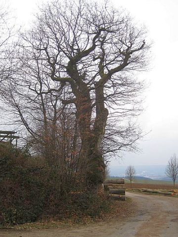 850 m
Oaks
Hohleboom - Eiche
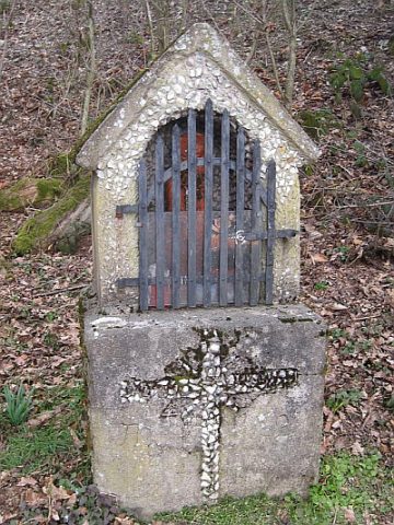 860 m
Wayside Shrines and Stations of the Cross
Bildstock beim Hohleboom
Wayside Shrines and Stations of the Cross
Wegekreuz
Wayside Shrines and Stations of the Cross
Wegekreuz
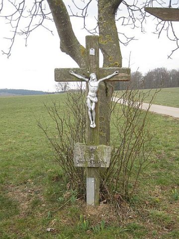 1.1 km
Wayside Shrines and Stations of the Cross
Wegekreuz
Deserted Settlements
Wüstung Lenschert
Field Names