Settlements · Celtic / Roman Period
Römische Siedlungsstelle


© GeoBasis-DE / LVermGeoRP, dl-de/by-2-0
There is no picture of this object yet. Do you have a photo that you would like to make available to the Kulturdatenbank? Submit a picture
Description
This description is only available in German.
Translate with Google opens this page in Google Translate (external service)
Ungefähr 500 m nordwestlich, westlich der Straße nach Berglicht, liegen im Felde Reste einer römischen Ansiedlung. [1]
Classification
- Subject area
- Archaeological Monuments
- Category
- Settlements
- Object type
- Settlements
- Date
- Circa 500 vor Chr. bis circa 500 nach Chr.
- Period
- Celtic / Roman Period
Location
- District
- Bernkastel-Wittlich
- Collective municipality
- Thalfang am Erbeskopf
- Municipality
- Thalfang
- Field name
- Unten in der Nah
- Coordinates
- WGS 84: 49.756956, 6.992405 (Position: presumed) WGS 84: 49° 45′ 25.0″ N, 6° 59′ 32.7″ E UTM 32 (ETRS89): E 355402 · N 5513543
Sources
Data sources
- [1] Die Kunstdenkmäler der Rheinprovinz. Bd. 15. Die Kunstdenkmäler des Kreises Bernkastel, (1935).
On the internet
Last edited: 17 Jan 2008 Object ID: 13846
https://kulturdb.de/en/objekt/13846-thalfang-roemische-siedlungsstelle
Nearby
The nearest objects
Field Names
In der Süßanwand
 290 m
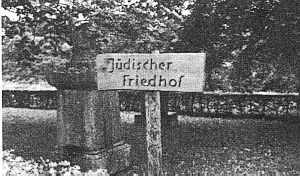
Jewish History
Jüdische Geschichte
 300 m
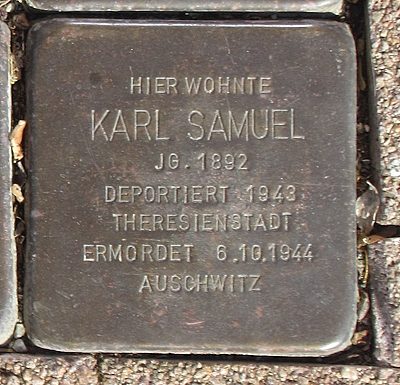
Stolpersteine (Stumbling Stones)
Stolperstein für Karl Samuel
 300 m
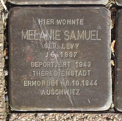
Stolpersteine (Stumbling Stones)
Stolperstein für Melanie Samuel
 300 m
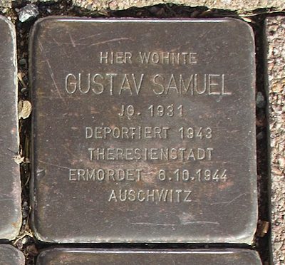
Stolpersteine (Stumbling Stones)
Stolperstein für Gustav Samuel
 300 m
Stolpersteine (Stumbling Stones)
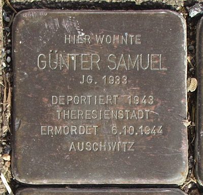
Stolperstein für Günter Samuel
 300 m
Stolpersteine (Stumbling Stones)
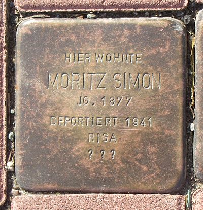
Stolperstein für Moritz Simon
 300 m
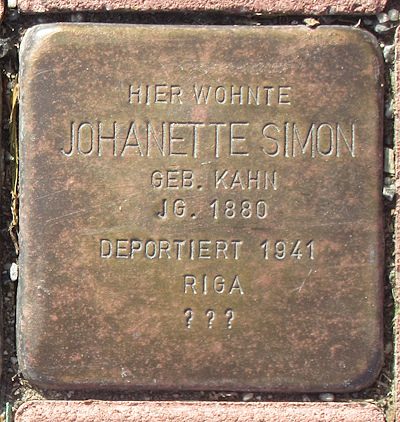
Stolpersteine (Stumbling Stones)