Inscriptions · Historicism / Art Nouveau
Felsinschriften am Maria-Croon-Weg
- Listed monument


Description
This description is only available in German.
Translate with Google opens this page in Google Translate (external service)
Der Weg auf dieser Talseite (heute Maria-Croon-Weg) wurde wohl von Pionieren als Militärstraße angelegt. Ich deute P.B.16 als Pionier-Bataillon 16.
Classification
- Subject area
- Natural Features
- Category
- Markers and Monuments
- Object type
- Inscriptions
- Date
- 1897
Location
- District
- Trier-Saarburg
- Collective municipality
- Saarburg-Kell
- Municipality
- Freudenburg
- Locality / location
- Kollesleuken
- Field name
- Gemeinde Leukwald
- Coordinates
- WGS 84: 49.539721, 6.512900 (Position: exact) WGS 84: 49° 32′ 23.0″ N, 6° 30′ 46.4″ E UTM 32 (ETRS89): E 320070 · N 5490429
Sources
Data sources
- Erich Knust, 2008
On the internet
Picture credits
Last edited: 5 May 2025 Object ID: 13847
https://kulturdb.de/en/objekt/13847-freudenburg-felsinschriften-am-maria-croon-weg
Nearby
The nearest objects
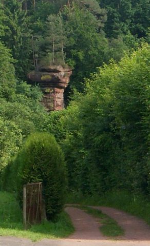 30 m
Natural Landscapes
Kollesleuker Schweiz
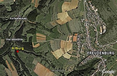 280 m
Spur Castles
Altburg
Field Names
In Rothburg
Field Names
Goldgrube
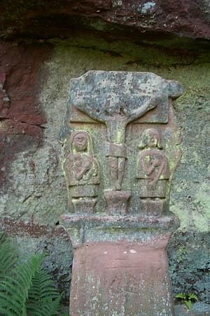 350 m
Wayside Shrines and Stations of the Cross
Schaftkreuz bei Herrenmühle
Spur Castles
Rodburg
370 m
Rocks
Felsnadel Pilsfelsen
Wayside Shrines and Stations of the Cross