Place Names / Local History · Celtic / Roman Period
Ortsgeschichte Söst

Description
This description is only available in German.
Translate with Google opens this page in Google Translate (external service)
Das idyllische Dorf Söst liegt in einer landschaftlich reizvollen Lage, umgeben von fruchtbaren Ackerfuhren. Es kann ebenfalls auf eine frühe Besiedlung zurückblicken. Zeugen hierfür sind Münzfunde aus der konstantinischen Zeit sowie fränkische Grabfelder.
Classification
- Subject area
- History
- Category
- Place Names / Local History
- Date
- Circa 500 vor Chr. bis circa 500 nach Chr.
- Period
- Celtic / Roman Period
Location
- District
- Trier-Saarburg
- Collective municipality
- Saarburg-Kell
- Municipality
- Wincheringen
- Locality / location
- Söst
- Field name
- Ortslage
- Coordinates
- WGS 84: 49.626491, 6.464690 (Position: within the village) WGS 84: 49° 37′ 35.4″ N, 6° 27′ 52.9″ E UTM 32 (ETRS89): E 316908 · N 5500191
Sources
Data sources
- Internet
On the internet
Picture credits
- Picture 1: Rudolf Klein im Wikipedia-Eintrag zur Gemeinde Wincheringen
Last edited: 11 Nov 2008 Object ID: 1406
https://kulturdb.de/en/objekt/1406-wincheringen-ortsgeschichte-soest
Nearby
The nearest objects
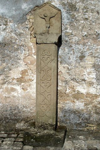 10 m
Wayside Shrines and Stations of the Cross
Kreuzigungsbildstock
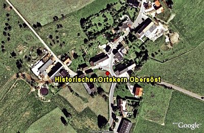 20 m
Historic Townscapes
Historischer Ortskern Obersöst
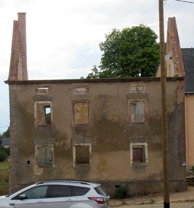 70 m
Farmhouses and Farm Buildings
Giebelbau
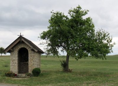 280 m
Chapels
Kapelle
 370 m
Wayside Shrines and Stations of the Cross
Bildstock
Field Names
In der Acht
 410 m
Wayside Shrines and Stations of the Cross
Wegekreuz
Field Names