Wayside Shrines and Stations of the Cross · Undated
Bildstock


Classification
- Subject area
- Architectural and Art Monuments
- Category
- Religious Buildings
- Object type
- Wayside Shrines and Stations of the Cross
- Date
- Undatiert
- Period
- Undated
Location
- District
- Trier-Saarburg
- Collective municipality
- Saarburg-Kell
- Municipality
- Wincheringen
- Locality / location
- Obersöst
- Field name
- Im Wickenfeld
- Coordinates
- WGS 84: 49.629560, 6.466560 (Position: exact) WGS 84: 49° 37′ 46.4″ N, 6° 27′ 59.6″ E UTM 32 (ETRS89): E 317054 · N 5500527
Sources
Data sources
- [1] GeoPortal des Landes Rheinland-Pfalz. http://www.geoportal.rlp.de/
On the internet
Picture credits
Last edited: 5 Mar 2024 Object ID: 32451
https://kulturdb.de/en/objekt/32451-wincheringen-bildstock
Nearby
The nearest objects
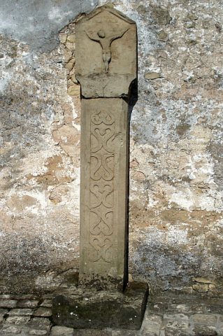 360 m
Wayside Shrines and Stations of the Cross
Kreuzigungsbildstock
No picture
360 m
Field Names
Beim Kriegelborn
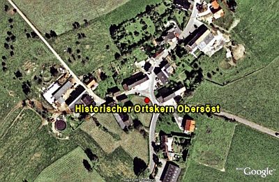 370 m
Historic Townscapes
Historischer Ortskern Obersöst
 370 m
Place Names / Local History
Ortsgeschichte Söst
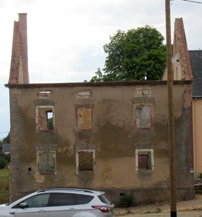 400 m
Farmhouses and Farm Buildings
Giebelbau
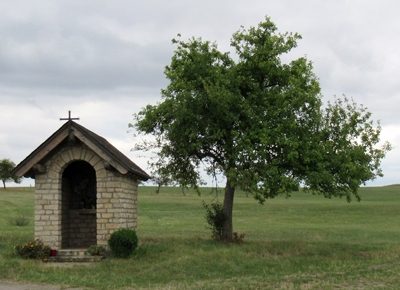 480 m
Chapels
Kapelle
No picture
680 m
Field Names
Billiger Grund
No picture
840 m
Field Names