Wayside Shrines and Stations of the Cross · 20th Century
Kreuz am Ortsausgang nach Burbach


© GeoBasis-DE / LVermGeoRP, dl-de/by-2-0
There is no picture of this object yet. Do you have a photo that you would like to make available to the Kulturdatenbank? Submit a picture
Description
This description is only available in German.
Translate with Google opens this page in Google Translate (external service)
[...] Am Ortsausgang nach Burbach steht ein neueres Kreuz, etwa 180 cm hoch aus Sandstein ohne Corpus. Es ist ein sich von unten nach oben verjüngender Stein, auf den ein kleines Kreuz aufgesetzt ist. In seinem oberen Teil befindet sich ein Bildnis der Dornengekrönten. Darunter die Inschrift;
Zur Ehre Gottes und zum Troste der armen Seelen im Fegefeuer.
Auf dem unteren Teil ist der Name des Errichters und des Herstellers angegeben:
Errichtet von Joh. Schirmers a. Huscheid
Lano Seffern.
Das Kreuz ist vermutlich 1921 errichtet wurden.
[…]
Classification
- Subject area
- Architectural and Art Monuments
- Category
- Religious Buildings
- Object type
- Wayside Shrines and Stations of the Cross
- Date
- 1921
- Period
- 20th Century
Location
- District
- Eifelkreis Bitburg-Prüm
- Collective municipality
- Prüm
- Municipality
- Nimshuscheid
- Field name
- Aufm Hog
- Coordinates
- WGS 84: 50.099733, 6.493577 (Position: exact) WGS 84: 50° 05′ 59.0″ N, 6° 29′ 36.9″ E UTM 32 (ETRS89): E 320754 · N 5552728
Sources
Data sources
- Ernst Görgen: Wegekreuze in und um Nimshuscheid. In: Prümer Landbote Heft 39-04.93. Hrsg. Geschichtsverein Prümer Land e.V. http://www.gvpl.de/landbote.php
On the internet
Last edited: 10 Jun 2008 Object ID: 14826
https://kulturdb.de/en/objekt/14826-nimshuscheid-kreuz-am-ortsausgang-nach-burbach
Nearby
The nearest objects
Field Names
Steinpesch
Wayside Shrines and Stations of the Cross
Wegekreuz
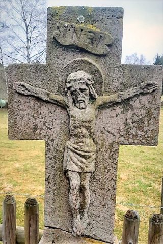 260 m
Wayside Shrines and Stations of the Cross
Schaftkreuz mit Rundbogennische (1)
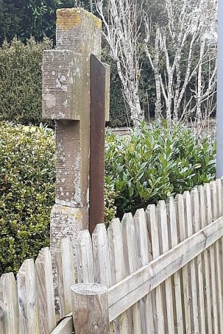 260 m
Wayside Shrines and Stations of the Cross
Schaftkreuz mit Rundbogennische (2)
Place Names / Local History
Ortsname / Ortsgeschichte
Field Names
Aufm Rodt
Surveying
Trigonometrisches Signal
Wayside Shrines and Stations of the Cross