War Memorials · 20th Century
Kriegerdenkmal
- Listed monument


Description
This description is only available in German.
Translate with Google opens this page in Google Translate (external service)
Classification
- Subject area
- Architectural and Art Monuments
- Category
- Markers and Monuments
- Object type
- War Memorials
- Date
- Nach dem Ersten Weltkrieg
- Period
- 20th Century
Location
- District
- Bernkastel-Wittlich
- Collective municipality
- Bernkastel-Kues
- Municipality
- Erden
- Street
- Hauptstraße
- Field name
- Hämmelchen
- Coordinates
- WGS 84: 49.978365, 7.028506 (Position: exact) WGS 84: 49° 58′ 42.1″ N, 7° 01′ 42.6″ E UTM 32 (ETRS89): E 358650 · N 5538088
Sources
Data sources
- [1] Denkmalliste des Landkreises Bernkastel-Wittlich, Juni 2008. Kreisverwaltung Bernkastel-Wittlich, Fachbereich Beraten, Planen, Fördern. Postfach 1420, 54504 Wittlich.
- [2] Michael Grün, Trier, 2025.
On the internet
Picture credits
Last edited: 18 Mar 2025 Object ID: 14902
https://kulturdb.de/en/objekt/14902-erden-kriegerdenkmal
Nearby
The nearest objects
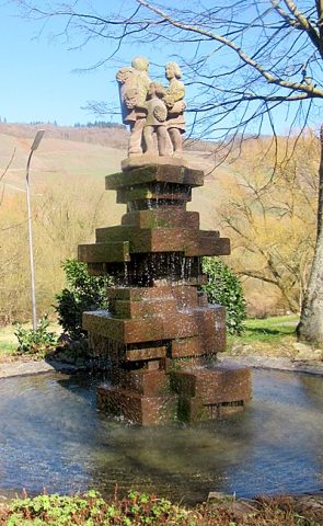 40 m
Fountains and Wells
Winzerbrunnen
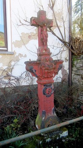 90 m
Wayside Shrines and Stations of the Cross
Sandsteinkreuz mit Pietàrelief
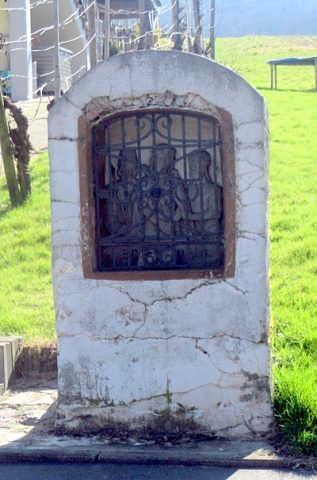 110 m
Wayside Shrine Houses
Heiligenhäuschen
No picture
140 m
Farmhouses and Farm Buildings
Wohnhaus
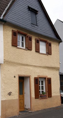 180 m
Farmhouses and Farm Buildings
Wohnhaus
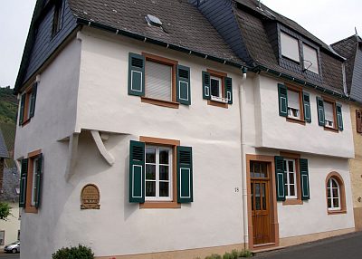 180 m
Farmhouses and Farm Buildings
Wohnhaus
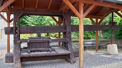 190 m
Farmhouses and Farm Buildings
Alte Baumkelter
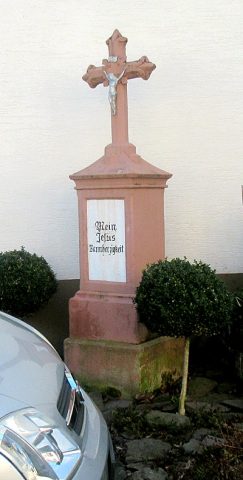 220 m
Wayside Shrines and Stations of the Cross