Farmhouses and Farm Buildings · Undated
Haus Hauptstraße 33
- Listed monument


© GeoBasis-DE / LVermGeoRP, dl-de/by-2-0
There is no picture of this object yet. Do you have a photo that you would like to make available to the Kulturdatenbank? Submit a picture
Description
This description is only available in German.
Translate with Google opens this page in Google Translate (external service)
Hauptstraße 28–34 (alle Nummern), 39, und 43 sowie Paulinerstraße 4–10 (gerade Nummern). Nur in einem kleinen Teil des historischen Ortskerns östlich der Kirche ist die historische Bausubstanz, vor allem des 17. und 18. Jahrhunderts, so dicht erhalten, daß die Ausweisung als Denkmalzone "Kennzeichnendes Straßenbild" empfohlen werden kann. [1]
Classification
- Subject area
- Architectural and Art Monuments
- Category
- Residential and Farm Buildings
- Object type
- Farmhouses and Farm Buildings
- Date
- Undatiert
- Period
- Undated
Location
- District
- Bernkastel-Wittlich
- Collective municipality
- Bernkastel-Kues
- Municipality
- Erden
- Street
- Hauptstraße 33
- Field name
- Ortslage
- Coordinates
- WGS 84: 49.978612, 7.025026 (Position: exact) WGS 84: 49° 58′ 43.0″ N, 7° 01′ 30.1″ E UTM 32 (ETRS89): E 358401 · N 5538122
Sources
Data sources
- [1] Denkmalliste des Landkreises Bernkastel-Wittlich, Juni 2008. Kreisverwaltung Bernkastel-Wittlich, Fachbereich Beraten, Planen, Fördern. Postfach 1420, 54504 Wittlich.
On the internet
Last edited: 23 Jun 2008 Object ID: 14905
https://kulturdb.de/en/objekt/14905-erden-haus-hauptstrasse-33
Nearby
The nearest objects
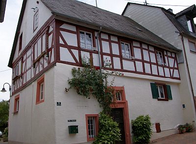 10 m
Farmhouses and Farm Buildings
Fachwerkhaus
Farmhouses and Farm Buildings
Haus Hauptstraße 29
Farmhouses and Farm Buildings
Haus Hauptstraße 28
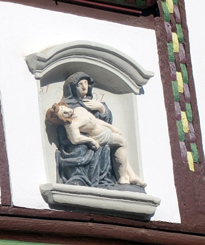 20 m
Wayside Shrines and Stations of the Cross
Pietà über dem Hauseingang
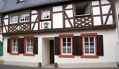 20 m
Farmhouses and Farm Buildings
Fachwerkhaus
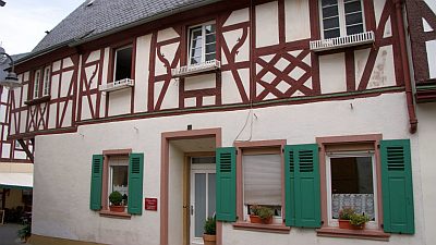 30 m
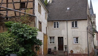
Farmhouses and Farm Buildings
Fachwerkhaus Hauptstraße 32
 30 m
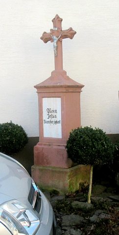
Wayside Shrines and Stations of the Cross
Pfeilerschaftkreuz / Schrifttafel
 30 m
Farmhouses and Farm Buildings