Wayside Shrines and Stations of the Cross · Baroque / Rococo
Pietà über dem Hauseingang


Classification
- Subject area
- Architectural and Art Monuments
- Category
- Religious Buildings
- Object type
- Wayside Shrines and Stations of the Cross
- Date
- 1707
- Period
- Baroque / Rococo
Location
- District
- Bernkastel-Wittlich
- Collective municipality
- Bernkastel-Kues
- Municipality
- Erden
- Street
- Hauptstraße 30
- Field name
- Ortslage
- Coordinates
- WGS 84: 49.978770, 7.024950 (Position: exact) WGS 84: 49° 58′ 43.6″ N, 7° 01′ 29.8″ E UTM 32 (ETRS89): E 358396 · N 5538140
Sources
Data sources
- [1] Werner Heinz und Rainer Grün: Verbandsgemeinde Bernkastel-Kues - Bildstöcke, Wegekreuze, Kirchen und Kapellen. (1995) ISBN 3-89570-063-0
On the internet
Picture credits
Last edited: 19 Mar 2025 Object ID: 44594
https://kulturdb.de/en/objekt/44594-erden-pieta-ueber-dem-hauseingang
Nearby
The nearest objects
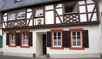 less than 10 m
Farmhouses and Farm Buildings
Fachwerkhaus
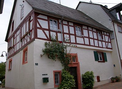 10 m
Farmhouses and Farm Buildings
Fachwerkhaus
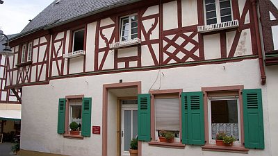 10 m
Farmhouses and Farm Buildings
Fachwerkhaus Hauptstraße 32
No picture
10 m
Farmhouses and Farm Buildings
Haus Hauptstraße 29
No picture
10 m
Farmhouses and Farm Buildings
Haus Hauptstraße 28
No picture
20 m
Farmhouses and Farm Buildings
Haus Hauptstraße 33
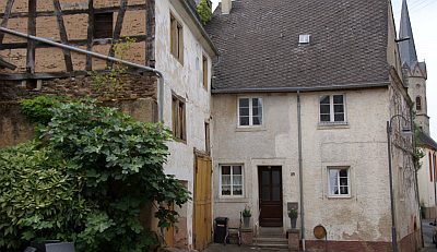 20 m
Farmhouses and Farm Buildings
Haus Hauptstraße 39
No picture
30 m
Farmhouses and Farm Buildings