Wayside Shrines and Stations of the Cross · Renaissance
Kreuzigungsbildstock
- Listed monument


Description
This description is only available in German.
Translate with Google opens this page in Google Translate (external service)
Barocker Kreuzigungsbildstock, bezeichnet 1686. [1]
Classification
- Subject area
- Architectural and Art Monuments
- Category
- Religious Buildings
- Object type
- Wayside Shrines and Stations of the Cross
- Date
- 1686
- Period
- Renaissance
Location
- District
- Bernkastel-Wittlich
- Collective municipality
- Bernkastel-Kues
- Municipality
- Kesten
- Street
- Bei Eiermarkt 3
- Field name
- Ortslage
- Coordinates
- WGS 84: 49.901191, 6.955789 (Position: exact) WGS 84: 49° 54′ 04.3″ N, 6° 57′ 20.8″ E UTM 32 (ETRS89): E 353203 · N 5529648
Sources
Data sources
- [1] Denkmalliste des Landkreises Bernkastel-Wittlich, Juni 2008. Kreisverwaltung Bernkastel-Wittlich, Fachbereich Beraten, Planen, Fördern. Postfach 1420, 54504 Wittlich.
On the internet
Picture credits
Last edited: 27 Nov 2024 Object ID: 15126
https://kulturdb.de/en/objekt/15126-kesten-kreuzigungsbildstock
Nearby
The nearest objects
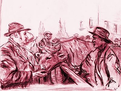 10 m
Market Towns
Marktort Kesten
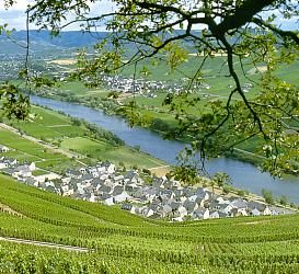 20 m
Place Names / Local History
Erste Erwähnung als Casteneith
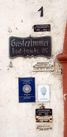 40 m
Flood Marks
Hochwassermarken Himmeroder Klosterhof
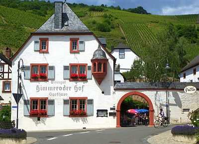 40 m
Farmhouses and Farm Buildings
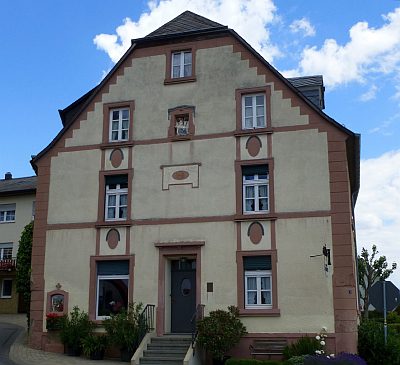
Ehemaliger Himmeroder Klosterhof
 50 m
Farmhouses and Farm Buildings
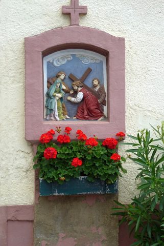
Haus Moselstraße 1
 50 m
Wayside Shrines and Stations of the Cross
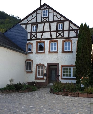
Wegekreuz
 50 m
Farmhouses and Farm Buildings
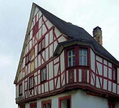
Kaiser Napoleons Quartier Kesten
 60 m
Farmhouses and Farm Buildings