Flood Marks · Undated
Hochwassermarken Himmeroder Klosterhof
- Listed monument
Description
This description is only available in German.
Translate with Google opens this page in Google Translate (external service)
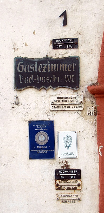
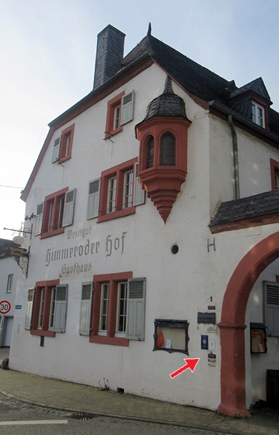
Am Himmeroder Klosterhof befinden sich an der Frontseite des Hauses sechs historische Hochwassermarken.
Von oben nach unten:
HOCHWASSER
-----------------
DEZ 1993
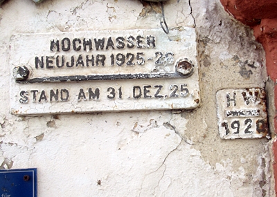
HOCHWASSER
NEUJAHR 1925 - 26
-----------------------
STAND AM 31. DEZ. 25
HWA
------
1920
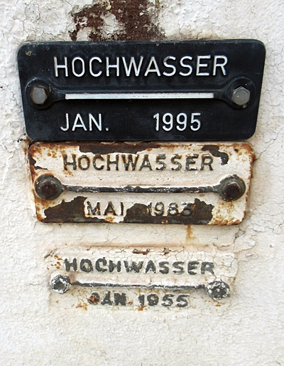
HOCHWASSER
------------------
JAN. 1995
HOCHWASSER
-----------------
MAI 1983
HOCHWASSER
------------------
JAN. 1955 [1]
Classification
- Subject area
- Architectural and Art Monuments
- Category
- Markers and Monuments
- Object type
- Flood Marks
- Date
- Undatiert
- Period
- Undated
Location
- District
- Bernkastel-Wittlich
- Collective municipality
- Bernkastel-Kues
- Municipality
- Kesten
- Street
- Am Herrenberg 1
- Field name
- Ortslage
- Coordinates
- WGS 84: 49.900818, 6.955820 (Position: exact) WGS 84: 49° 54′ 02.9″ N, 6° 57′ 21.0″ E UTM 32 (ETRS89): E 353204 · N 5529607
Sources
Data sources
- [1] Michael Grün, Trier, 2024.
On the internet
Picture credits
Last edited: 15 May 2025 Object ID: 54179
https://kulturdb.de/en/objekt/54179-kesten-hochwassermarken-himmeroder-klosterhof
Nearby
The nearest objects
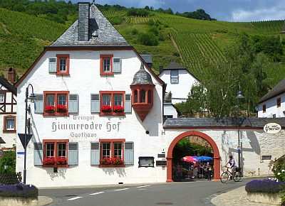 less than 10 m
Farmhouses and Farm Buildings
Ehemaliger Himmeroder Klosterhof
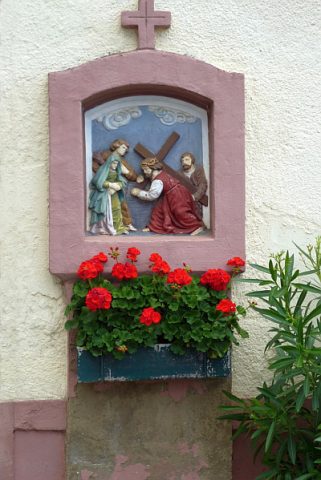 20 m
Wayside Shrines and Stations of the Cross
Wegekreuz
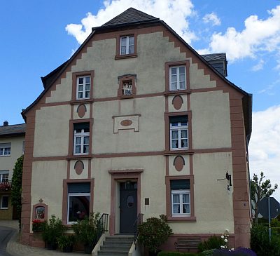 20 m
Farmhouses and Farm Buildings
Haus Moselstraße 1
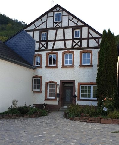 20 m
Farmhouses and Farm Buildings
Kaiser Napoleons Quartier Kesten
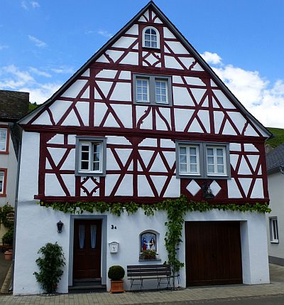 40 m
Farmhouses and Farm Buildings
Wohnhaus
 40 m
Market Towns
Marktort Kesten
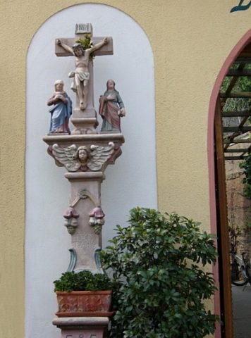 40 m
Wayside Shrines and Stations of the Cross
Kreuzigungsbildstock
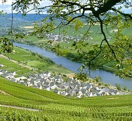 50 m
Place Names / Local History