Wayside Shrines and Stations of the Cross · Baroque / Rococo
Kirchhofskreuz

Description
This description is only available in German.
Translate with Google opens this page in Google Translate (external service)
Hohes, figurenreiches Kirchhofskreuz vom Ende des 18. Jahrhunderts auf der Südseite des Turms.
Classification
- Subject area
- Architectural and Art Monuments
- Category
- Religious Buildings
- Object type
- Wayside Shrines and Stations of the Cross
- Date
- Ende des 18. Jahrhunderts
- Period
- Baroque / Rococo
Location
- District
- Vulkaneifel
- Collective municipality
- Daun
- Municipality
- Strotzbüsch
- Field name
- Ortslage
- Coordinates
- WGS 84: 50.110873, 6.966938 (Position: exact) WGS 84: 50° 06′ 39.1″ N, 6° 58′ 01.0″ E UTM 32 (ETRS89): E 354637 · N 5552937
Sources
Data sources
- Ernst Wackenroder: Die Kunstdenkmäler der Rheinprovinz, Die Kunstdenkmäler des Kreises Daun, 1928
On the internet
Picture credits
- Picture 1: © Norbert Schnitzler, Aachen, 2007. http://www.norbert-schnitzler.de/
Last edited: 6 Jul 2008 Object ID: 15267
https://kulturdb.de/en/objekt/15267-strotzbuesch-kirchhofskreuz
Nearby
The nearest objects
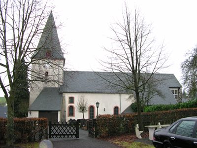 20 m
Catholic Churches
Sankt Vincentius
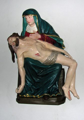 20 m
Works of Art
Sankt Vincentius - Muttergottes
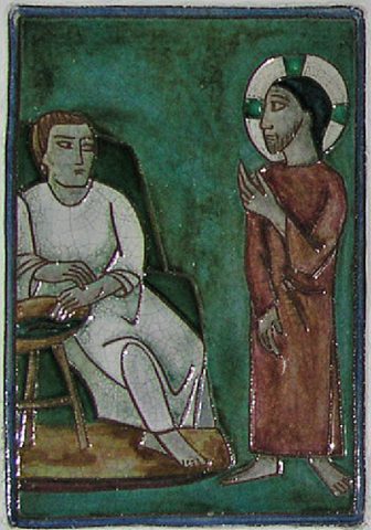 20 m
Catholic Churches
Sankt Vincentius - Kreuzweg
 90 m
Place Names / Local History
Erste Erwähnung als Strouadesburch
Wayside Shrines and Stations of the Cross
Wegekreuz
Wayside Shrines and Stations of the Cross
Wegekreuz
Field Names
Jakobsborn
Wayside Shrines and Stations of the Cross