Town Houses and Commercial Buildings · 20th Century
Wohnhaus
- Listed monument


© GeoBasis-DE / LVermGeoRP, dl-de/by-2-0
There is no picture of this object yet. Do you have a photo that you would like to make available to the Kulturdatenbank? Submit a picture
Description
This description is only available in German.
Translate with Google opens this page in Google Translate (external service)
Zurückliegender stattlicher Massivbau in schlichten, nur am Portal sehr reichen Spätbarockformen, wohl Anfang 20. Jahrhundert. [1]
Classification
- Subject area
- Architectural and Art Monuments
- Category
- Residential and Farm Buildings
- Object type
- Town Houses and Commercial Buildings
- Date
- Anfang 20. Jahrhundert
- Period
- 20th Century
Location
- District
- Bernkastel-Wittlich
- Town
- Bernkastel-Kues
- Locality / location
- Bernkastel
- Street
- Gestade 16
- Field name
- Ortslage
- Coordinates
- WGS 84: 49.914260, 7.075135 (Position: exact) WGS 84: 49° 54′ 51.3″ N, 7° 04′ 30.5″ E UTM 32 (ETRS89): E 361810 · N 5530874
Sources
Data sources
- [1] Denkmalliste des Landkreises Bernkastel-Wittlich, Juni 2008. Kreisverwaltung Bernkastel-Wittlich, Fachbereich Beraten, Planen, Fördern. Postfach 1420, 54504 Wittlich.
On the internet
Last edited: 6 Aug 2008 Object ID: 15645
https://kulturdb.de/en/objekt/15645-bernkastel-kues-wohnhaus
Nearby
The nearest objects
 30 m
Town Houses and Commercial Buildings
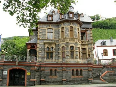
Winzervilla Gestade 15
Courthouses
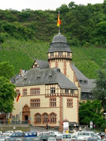
Ehemaliges Amtsgericht
 30 m
Administrative Buildings
Ehemaliges Kreisständehaus
 70 m
Works of Art
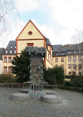
Doctorwein-Brunnen
 70 m
Catering, Inns and Hotels
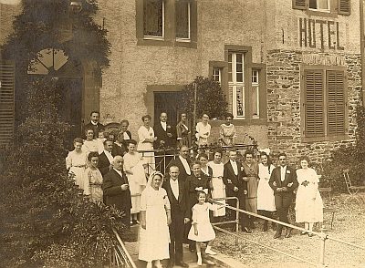
Ehemaliges Schlosshotel (1)
 70 m
Catering, Inns and Hotels
Ehemaliges Schlosshotel (2)
Administrative Buildings
Ehemaliges Amts- und Kellnereigebäude
 70 m
Wayside Shrines and Stations of the Cross