Chapels · Historicism / Art Nouveau
Wegekapelle
- Listed monument


© GeoBasis-DE / LVermGeoRP, dl-de/by-2-0
There is no picture of this object yet. Do you have a photo that you would like to make available to the Kulturdatenbank? Submit a picture
Description
This description is only available in German.
Translate with Google opens this page in Google Translate (external service)
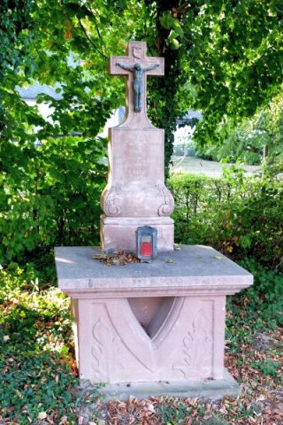
Escher Straße, am Übergang in den Fuhrweg. Kleiner Walmdachbau auf quadratischem Grundriß aus unverputztem Bruchsteinmauerwerk mit Werk- und Backsteingliederung. Innen ein Wegekreuz aus rotem Sandstein. [1]
Classification
- Subject area
- Architectural and Art Monuments
- Category
- Religious Buildings
- Object type
- Chapels
- Date
- 2. Hälfte 19. Jahrhundert
Location
- District
- Bernkastel-Wittlich
- Collective municipality
- Wittlich-Land
- Municipality
- Klausen
- Locality / location
- Krames-Klausen
- Street
- Escher Straße
- Field name
- Ortslage
- Coordinates
- WGS 84: 49.902978, 6.878819 (Position: exact) WGS 84: 49° 54′ 10.7″ N, 6° 52′ 43.7″ E UTM 32 (ETRS89): E 347681 · N 5530001
Sources
Data sources
- [1] Denkmalliste des Landkreises Bernkastel-Wittlich, Juni 2008. Kreisverwaltung Bernkastel-Wittlich, Fachbereich Beraten, Planen, Fördern. Postfach 1420, 54504 Wittlich.
On the internet
Last edited: 7 Aug 2008 Object ID: 15673
https://kulturdb.de/en/objekt/15673-klausen-wegekapelle
Nearby
The nearest objects
Field Names
Im Tierpesch
Field Names
Im Weierpesch
Field Names
Beim Wiesenrech
Field Names
Im Wiesenrech
Parish and Monastery Gardens
Abtsgarten
Mills
Ölmühle Krames
 310 m
Altars
Altarkreuz
Extraction and Processing of Raw Materials