Mills · Undated
Ölmühle Krames


© GeoBasis-DE / LVermGeoRP, dl-de/by-2-0
There is no picture of this object yet. Do you have a photo that you would like to make available to the Kulturdatenbank? Submit a picture
Description
This description is only available in German.
Translate with Google opens this page in Google Translate (external service)
Wie aus den Akten des Landeshauptarchivs in Koblenz hervorgeht, gab es in Krames eine Ölmühle. Als Besitzer wird Jakob Junk genannt, dieser verkaufte die Ölmühle im Jahre 1786 an die Witwe Lamberti aus Platten.
Classification
- Subject area
- Architectural and Art Monuments
- Object type
- Mills
- Date
- Undatiert
- Period
- Undated
Location
- District
- Bernkastel-Wittlich
- Collective municipality
- Wittlich-Land
- Municipality
- Klausen
- Locality / location
- Krames-Klausen
- Field name
- Ortslage
- Coordinates
- WGS 84: 49.904180, 6.875625 (Position: presumed) WGS 84: 49° 54′ 15.0″ N, 6° 52′ 32.3″ E UTM 32 (ETRS89): E 347456 · N 5530141
Sources
Data sources
- Günter Hesse, Andreas Wisniewski: Wittlich-Land. Geschichte einer Verbandsgemeinde zwischen Vulkaneifel und Mosel. Hrsg. Verbandsgemeinde Wittlich-Land 1990.
On the internet
Last edited: 6 Jan 2004 Object ID: 7911
https://kulturdb.de/en/objekt/7911-klausen-oelmuehle-krames
Nearby
The nearest objects
Field Names
Im Wiesenrech
Field Names
Beim Wiesenrech
Chapels
Wegekapelle
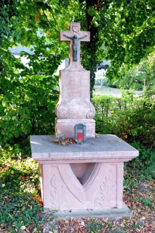 270 m
Altars
Altarkreuz
Field Names
Im Tierpesch
Field Names
Im Stückenpesch
Field Names
In den Wiesenpeschen
Wayside Shrines and Stations of the Cross