Farmhouses and Farm Buildings · Renaissance
Wohnhaus
- Listed monument


© GeoBasis-DE / LVermGeoRP, dl-de/by-2-0
There is no picture of this object yet. Do you have a photo that you would like to make available to the Kulturdatenbank? Submit a picture
Description
This description is only available in German.
Translate with Google opens this page in Google Translate (external service)
Römerstraße 4/6. Zweigeschossiges Wohnhaus mit hohem Krüppelwalmdach, im Kern 17./18. Jahrhundert, wohl nachträglich geteilt. Die schmalen Rechteckfenster im Erdgeschoß und im Obergeschoß teilweise mit Kehle. An der linken Giebelseite jüngerer Anbau. [1]
Classification
- Subject area
- Architectural and Art Monuments
- Category
- Residential and Farm Buildings
- Object type
- Farmhouses and Farm Buildings
- Date
- 17./18. Jahrhundert
- Period
- Renaissance
Location
- District
- Bernkastel-Wittlich
- Collective municipality
- Wittlich-Land
- Municipality
- Esch (Bernkastel-Wittlich)
- Locality / location
- Esch
- Street
- Römerstraße 4
- Field name
- Ortslage
- Coordinates
- WGS 84: 49.895282, 6.851121 (Position: exact) WGS 84: 49° 53′ 43.0″ N, 6° 51′ 04.0″ E UTM 32 (ETRS89): E 345668 · N 5529202
Sources
Data sources
- [1] Denkmalliste des Landkreises Bernkastel-Wittlich, Juni 2008. Kreisverwaltung Bernkastel-Wittlich, Fachbereich Beraten, Planen, Fördern. Postfach 1420, 54504 Wittlich.
On the internet
vg-wittlich-land.de/vg_wittlich_land/%C3%9Cber%20uns/Ortsgemeinden/Esch
Last edited: 13 Aug 2008 Object ID: 15759
https://kulturdb.de/en/objekt/15759-esch-bernkastel-wittlich-wohnhaus
Nearby
The nearest objects
Farmhouses and Farm Buildings
Wohnhaus
 20 m
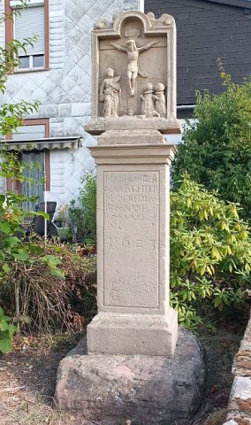
Wayside Shrines and Stations of the Cross
Bildstock
Field Names
Im vordersten Bungert
Field Names
Aufm hintersten Bungert
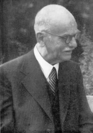
Place Names / Local History
Ortsgeschichte Esch
 110 m
Chartered Towns
Stadtrechte
 110 m
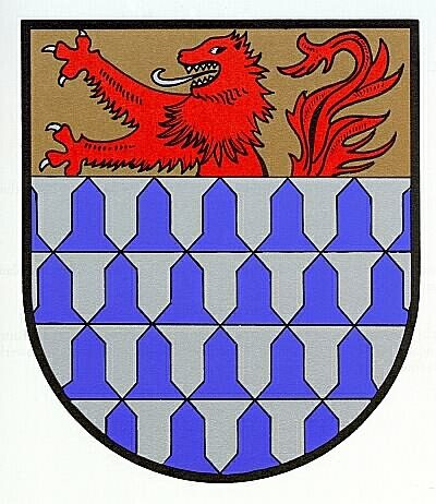
Coats of Arms
Wappen der Gemeinde Esch
Catholic Churches