Place Names / Local History · Celtic / Roman Period
Ortsgeschichte Esch


© GeoBasis-DE / LVermGeoRP, dl-de/by-2-0
There is no picture of this object yet. Do you have a photo that you would like to make available to the Kulturdatenbank? Submit a picture
Description
This description is only available in German.
Translate with Google opens this page in Google Translate (external service)
Schon vor 500 war der Ort durch die Grafen von Esch bekannt. Damals stand hier eine schöne Burg, die aber später zerstört wurde. Hier lebte auch der selige Eberhard, durch den der Wallfahrtsort Klausen gegründet wurde.
Classification
- Subject area
- History
- Category
- Place Names / Local History
- Date
- Circa 500 vor Chr. bis circa 500 nach Chr.
- Period
- Celtic / Roman Period
Location
- District
- Bernkastel-Wittlich
- Collective municipality
- Wittlich-Land
- Municipality
- Esch (Bernkastel-Wittlich)
- Locality / location
- Esch
- Field name
- Ortslage
- Coordinates
- WGS 84: 49.896061, 6.850216 (Position: within the village) WGS 84: 49° 53′ 45.8″ N, 6° 51′ 00.8″ E UTM 32 (ETRS89): E 345605 · N 5529290
Sources
Data sources
- Internet
On the internet
vg-wittlich-land.de/vg_wittlich_land/%C3%9Cber%20uns/Ortsgemeinden/Esch
Last edited: 7 Oct 2003 Object ID: 1489
https://kulturdb.de/en/objekt/1489-esch-bernkastel-wittlich-ortsgeschichte-esch
Nearby
The nearest objects
 less than 10 m
Chartered Towns
Stadtrechte
 less than 10 m
Coats of Arms
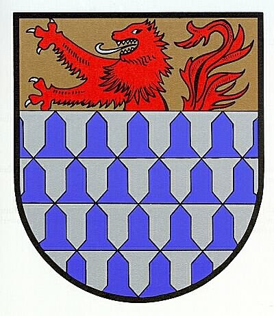
Wappen der Gemeinde Esch
Field Names
Im vordersten Bungert
Farmhouses and Farm Buildings
Wohnhaus
Farmhouses and Farm Buildings
Wohnhaus
Catholic Churches
Sankt Nikolaus
Castles
Burg Esch
Field Names