Castles · Gothic
Burg Esch
Wüstung


© GeoBasis-DE / LVermGeoRP, dl-de/by-2-0
There is no picture of this object yet. Do you have a photo that you would like to make available to the Kulturdatenbank? Submit a picture
Description
This description is only available in German.
Translate with Google opens this page in Google Translate (external service)
1376 wird Esch in einer Urkunde Karls IV., bereits unter den Besitztümern des Erzstiftes Trier aufgeführt. Noch 1731 standen hier beträchtliche Reste des Schlosses Esch. [1]
Classification
- Subject area
- Archaeological Monuments
- Object type
- Castles
- Date
- Circa 1100 bis circa 1500
- Period
- Gothic
Location
- District
- Bernkastel-Wittlich
- Collective municipality
- Wittlich-Land
- Municipality
- Esch (Bernkastel-Wittlich)
- Locality / location
- Esch
- Field name
- Auf der Burg
- Coordinates
- WGS 84: 49.897466, 6.849949 (Position: exact) WGS 84: 49° 53′ 50.9″ N, 6° 50′ 59.8″ E UTM 32 (ETRS89): E 345591 · N 5529447
Sources
Data sources
- [1] Janssen, W.: Studien zur Wüstungsfrage im fränkischen Altsiedelland zwischen Rhein, Mosel und Eifelnordrand. 2 Bände. Text u. Katalog, 1975.
On the internet
vg-wittlich-land.de/vg_wittlich_land/%C3%9Cber%20uns/Ortsgemeinden/Esch
Last edited: 7 Oct 2013 Object ID: 421
https://kulturdb.de/en/objekt/421-esch-bernkastel-wittlich-burg-esch
Nearby
The nearest objects
Catholic Churches
Sankt Nikolaus
Works of Art
Dorfbrunnen
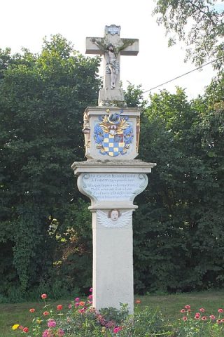 150 m
Wayside Shrines and Stations of the Cross
Sogenanntes Koppensteinkreuz
Place Names / Local History
Ortsgeschichte Esch
 160 m
Chartered Towns
Stadtrechte
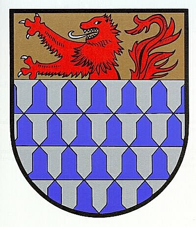 160 m
Coats of Arms
Wappen der Gemeinde Esch
Field Names
Im vordersten Bungert
Farmhouses and Farm Buildings