Mineral Springs · Undated
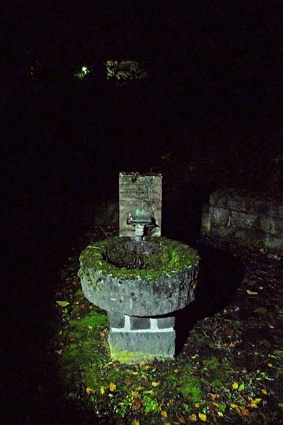
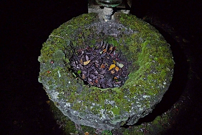
Mineralquelle


Description
This description is only available in German.
Translate with Google opens this page in Google Translate (external service)
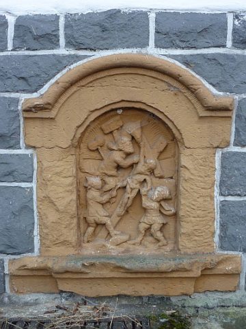
Gefasste Mineralquelle an der Dorfstraße. [1]
Classification
- Subject area
- Natural Features
- Category
- Springs
- Object type
- Mineral Springs
- Date
- Undatiert
- Period
- Undated
Location
- District
- Vulkaneifel
- Collective municipality
- Gerolstein
- Municipality
- Rockeskyll
- Street
- Dorfstraße
- Field name
- Ortslage
- Coordinates
- WGS 84: 50.249528, 6.697008 (Position: exact) WGS 84: 50° 14′ 58.3″ N, 6° 41′ 49.2″ E UTM 32 (ETRS89): E 335815 · N 5568913
Sources
Data sources
- [1] Uwe Widera, 54550 Daun, 2009.
On the internet
Picture credits
Last edited: 3 Jan 2010 Object ID: 1591
https://kulturdb.de/en/objekt/1591-rockeskyll-mineralquelle
Nearby
The nearest objects
 110 m
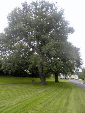
Oaks
Alte Eiche
120 m
Oaks
Alte Eiche
No picture
140 m
Lime Kilns
Ehemaliger Kalkofen
 170 m
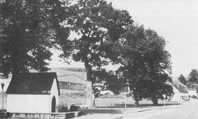
Chapels
Marienkapelle am Ortseingang
No picture
170 m
Lime Kilns
Ehemaliger Kalkofen
No picture
250 m
Mills
Ehemalige Mühle am Essinger Bach
No picture
340 m
Field Names
Auf der Flachsspreit
 400 m
Wayside Shrines and Stations of the Cross