Natural Landscapes · Undated
Trilobitenfelder


© GeoBasis-DE / LVermGeoRP, dl-de/by-2-0
There is no picture of this object yet. Do you have a photo that you would like to make available to the Kulturdatenbank? Submit a picture
Description
This description is only available in German.
Translate with Google opens this page in Google Translate (external service)
In der geologischen Wissenschaft nimmt die Umgebung von Gees eine Sonderstellung ein. Weltbekannt sind die sogenannten Trilobitenfelder, die rechts und links an dem alten Weg zum Wald hinauf nach Salm liegen. [1]
Classification
- Subject area
- Natural Features
- Category
- Natural Landscapes
- Date
- Undatiert
- Period
- Undated
Location
- District
- Vulkaneifel
- Town
- Gerolstein
- Locality / location
- Gees
- Field name
- Ortslage
- Coordinates
- WGS 84: 50.220173, 6.700349 (Position: within the village) WGS 84: 50° 13′ 12.6″ N, 6° 42′ 01.3″ E UTM 32 (ETRS89): E 335953 · N 5565642
Sources
Data sources
- [1] Gerolstein 1986, Dohm/Winter
On the internet
Last edited: 7 Oct 2003 Object ID: 1597
https://kulturdb.de/en/objekt/1597-gerolstein-trilobitenfelder
Nearby
The nearest objects
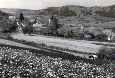 less than 10 m
Place Names / Local History
Ortsgeschichte Gees
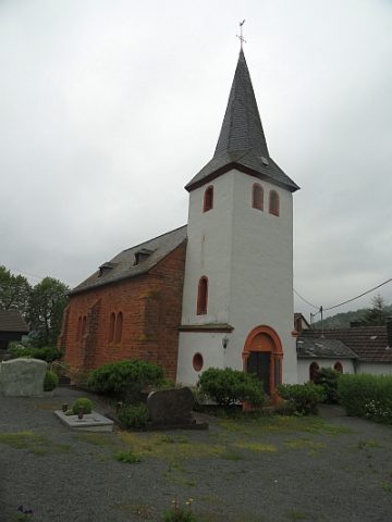 50 m
Catholic Churches
Sankt Nikolaus
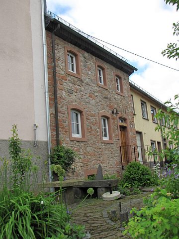 70 m
Farmhouses and Farm Buildings
Wohnhaus einer Hofanlage
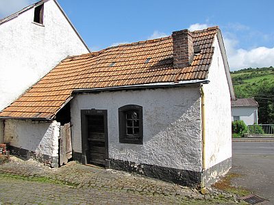 90 m
Farmhouses and Farm Buildings
Backhaus
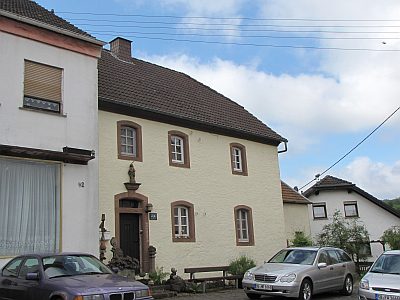 100 m
Farmhouses and Farm Buildings
Bauernhaus
Field Names
Im Kirchenpech
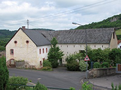 110 m
Farmhouses and Farm Buildings
Barockes Wohnhaus
Field Names