Place Names / Local History · Early Middle Ages / Romanesque
Ortsgeschichte Meckel

Description
This description is only available in German.
Translate with Google opens this page in Google Translate (external service)
Hervorzuheben ist dabei der römische Gutshof Flur Scheiwelsheck an der Straße Meckel-Gilzem und der Tempelbezirk südwestlich von Meilbrück. Zwischen 711 und 814 schenkte ein gewisser Harduwin sein Gut zu Meckeia cum ecclesia dem Kloster Echternach. Bis zur französischen Zeit zählte Meckel zur Propstei Bitburg.
Classification
- Subject area
- History
- Category
- Place Names / Local History
- Date
- 711
Location
- District
- Eifelkreis Bitburg-Prüm
- Collective municipality
- Bitburger Land
- Municipality
- Meckel
- Field name
- Ortslage
- Coordinates
- WGS 84: 49.890139, 6.515815 (Position: within the village) WGS 84: 49° 53′ 24.5″ N, 6° 30′ 56.9″ E UTM 32 (ETRS89): E 321570 · N 5529375
Sources
Data sources
- © 1998 by ICTeam Internet Consulting GmbH and Silyn-Tek
On the internet
bitburgerland.de/index.php?id=346
Picture credits
- Picture 1: http://www.ngw.nl/int/dld/m/meckel.htm
Last edited: 5 Sep 2005 Object ID: 1634
https://kulturdb.de/en/objekt/1634-meckel-ortsgeschichte-meckel
Nearby
The nearest objects
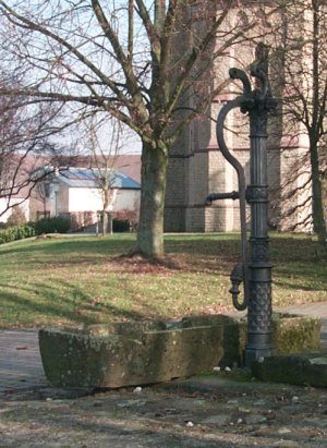 less than 10 m
Fountains and Wells
Brunnen (Pumpenstock)
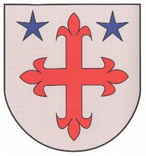 less than 10 m
Coats of Arms
Wappen der Gemeinde Meckel
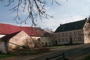 30 m
Historic Townscapes
Historisches Ortsbild
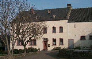 60 m
Town Houses and Commercial Buildings
Wohnhaus
 70 m
Wayside Shrines and Stations of the Cross
Schaftkreuz
Farmhouses and Farm Buildings
Quereinhaus
Farmhouses and Farm Buildings
Gehöft
Farmhouses and Farm Buildings