Historic Townscapes · Neoclassicism
Historisches Ortsbild


Description
This description is only available in German.
Translate with Google opens this page in Google Translate (external service)
Die Bauernhäuser gehören zu den stattlichsten des Bitburger Gutlandes. Einfirstanlagen und Gehöfte bei denen Wohnhaus, Stallungen und Scheune einen zur Straße hin offenen Hof umschließen. Von 1821-1847. [1]
Classification
- Subject area
- Architectural and Art Monuments
- Category
- Historic Townscapes
- Date
- 1821-47
- Period
- Neoclassicism
Location
- District
- Eifelkreis Bitburg-Prüm
- Collective municipality
- Bitburger Land
- Municipality
- Meckel
- Field name
- Ortslage
- Coordinates
- WGS 84: 49.889960, 6.515604 (Position: within the village) WGS 84: 49° 53′ 23.9″ N, 6° 30′ 56.2″ E UTM 32 (ETRS89): E 321554 · N 5529356
Sources
Data sources
- [1] Kremb/Lautzas: Landesgeschichtlicher Exkursionsführer Rheinland-Pfalz, Bd.2, 1991; Verlag Arbogast, 6756 Otterbach
On the internet
bitburgerland.de/index.php?id=346
Picture credits
Last edited: 7 Oct 2003 Object ID: 525
https://kulturdb.de/en/objekt/525-meckel-historisches-ortsbild
Nearby
The nearest objects
 30 m
Place Names / Local History
Ortsgeschichte Meckel
 30 m
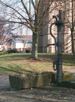
Fountains and Wells
Brunnen (Pumpenstock)
30 m
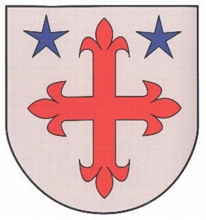
Coats of Arms
Wappen der Gemeinde Meckel
 40 m
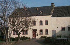
Town Houses and Commercial Buildings
Wohnhaus
 80 m
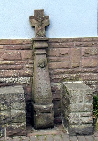
Wayside Shrines and Stations of the Cross
Schaftkreuz
Farmhouses and Farm Buildings
Quereinhaus
Farmhouses and Farm Buildings
Gehöft
Farmhouses and Farm Buildings