Farmhouses and Farm Buildings · Renaissance
Kniestockhaus
- Listed monument


Description
This description is only available in German.
Translate with Google opens this page in Google Translate (external service)
Classification
- Subject area
- Architectural and Art Monuments
- Category
- Residential and Farm Buildings
- Object type
- Farmhouses and Farm Buildings
- Date
- 1623
- Period
- Renaissance
Location
- District
- Vulkaneifel
- Collective municipality
- Gerolstein
- Municipality
- Kerschenbach
- Street
- Stadtkyller Straße 6
- Field name
- Ortslage
- Coordinates
- WGS 84: 50.348853, 6.501357 (Position: exact) WGS 84: 50° 20′ 55.9″ N, 6° 30′ 04.9″ E UTM 32 (ETRS89): E 322239 · N 5580404
Sources
Data sources
- [1] Denkmalliste der Generaldirektion Kulturelles Erbe, Rheinland-Pfalz; 2010.
- [2] Karin und Oskar Neubauer, Kerschenbach, 2013.
On the internet
Picture credits
Last edited: 4 Oct 2013 Object ID: 16367
https://kulturdb.de/en/objekt/16367-kerschenbach-kniestockhaus
Nearby
The nearest objects
No picture
70 m
Farmhouses and Farm Buildings
Fachwerkhaus
 100 m
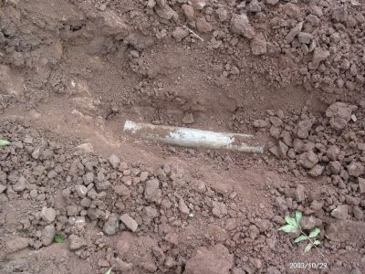
Water Supply
Wasserleitungen
No picture
120 m
Farmhouses and Farm Buildings
Bauernhaus
 170 m
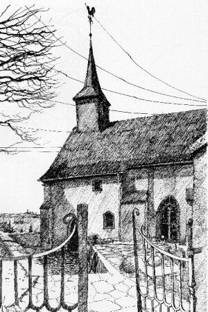
Catholic Churches
Sankt Lucia
 200 m
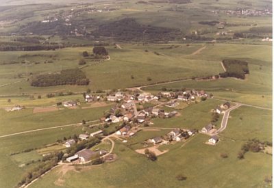
Place Names / Local History
Erste Erwähnung von Kerschenbach
 200 m
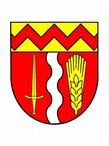
Coats of Arms
Wappen und Flagge der Gemeinde Kerschenbach
No picture
330 m
Field Names
Auf der Held
No picture
490 m
Field Names