Place Names / Local History · Celtic / Roman Period
Ortsgeschichte Mülbach

Description
This description is only available in German.
Translate with Google opens this page in Google Translate (external service)
Ausgedehntes römisches Trümmerfeld im Gemarkungsbereich Tempelhof.
Erste urkundliche Erwähnung im Jahre 1177 als Molbach. Später zählte der Ort zuerst zur Herrschaft Neuerburg, dann zur Herrschaft Bitburg im Herzogtum Luxemburg.
Classification
- Subject area
- History
- Category
- Place Names / Local History
- Date
- Circa 500 vor Chr. bis circa 500 nach Chr.
- Period
- Celtic / Roman Period
Location
- District
- Eifelkreis Bitburg-Prüm
- Collective municipality
- Bitburger Land
- Municipality
- Mülbach
- Field name
- Ortslage
- Coordinates
- WGS 84: 49.967623, 6.404132 (Position: within the village) WGS 84: 49° 58′ 03.4″ N, 6° 24′ 14.9″ E UTM 32 (ETRS89): E 313848 · N 5538261
Sources
Data sources
- © 1998 by ICTeam Internet Consulting GmbH and Silyn-Tek
On the internet
bitburgerland.de/index.php?id=416
Picture credits
- Picture 1: http://www.ngw.nl/int/dld/m/mulbach.htm
Last edited: 5 Sep 2005 Object ID: 1641
https://kulturdb.de/en/objekt/1641-muelbach-ortsgeschichte-muelbach
Nearby
The nearest objects
 less than 10 m
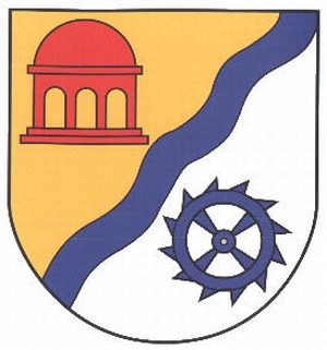
Coats of Arms
Wappen der Gemeinde Mülbach
 140 m
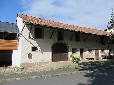
Mills
Alte Mühle
 160 m
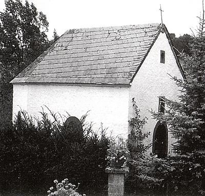
Chapels
Kapelle beim Hof Bachstraße
 330 m
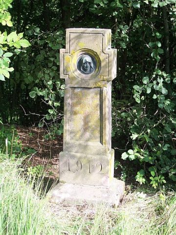
Wayside Shrines and Stations of the Cross
Dankeskreuz
Mills
Oberste Mühle
Field Names
Im Krummfeld
Field Names
In den Grundwiesen
Wayside Shrines and Stations of the Cross