Farmhouses and Farm Buildings · Baroque / Rococo
Hofanlage
- Listed monument


© GeoBasis-DE / LVermGeoRP, dl-de/by-2-0
There is no picture of this object yet. Do you have a photo that you would like to make available to the Kulturdatenbank? Submit a picture
Description
This description is only available in German.
Translate with Google opens this page in Google Translate (external service)
Hofanlage; Wohnhaus, bezeichnet 1759 (?), stattliche Stallscheune. [1]
Classification
- Subject area
- Architectural and Art Monuments
- Category
- Residential and Farm Buildings
- Object type
- Farmhouses and Farm Buildings
- Date
- 1759
- Period
- Baroque / Rococo
Location
- District
- Vulkaneifel
- Collective municipality
- Gerolstein
- Municipality
- Kopp
- Street
- Dorfstraße 8
- Field name
- Im Bormetspaisch
- Coordinates
- WGS 84: 50.175668, 6.585634 (Position: exact) WGS 84: 50° 10′ 32.4″ N, 6° 35′ 08.3″ E UTM 32 (ETRS89): E 327610 · N 5560953
Sources
Data sources
- [1] Denkmalliste des Landes Rheinland-Pfalz (Stand: 3. Januar 2013).
On the internet
Last edited: 3 Apr 2014 Object ID: 16417
https://kulturdb.de/en/objekt/16417-kopp-hofanlage
Nearby
The nearest objects
 50 m
Place Names / Local History
Ortsgeschichte Kopp (1)
Place Names / Local History
Erste Erwähnung von Kopp
 50 m
Coats of Arms
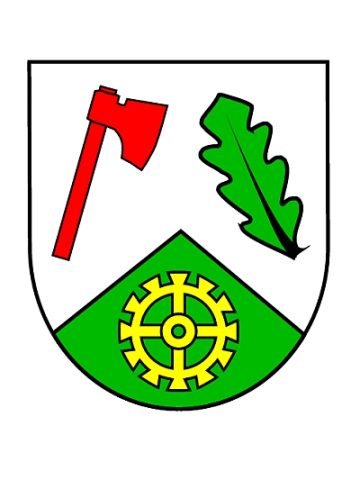
Wappen der Gemeinde Kopp
Farmhouses and Farm Buildings
Quereinhaus
Field Names
Im Rosengarten
Wayside Shrines and Stations of the Cross
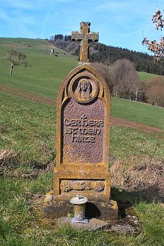
Wegekreuz
Catholic Churches
Filialkirche Sankt Matthias
 220 m
Wayside Shrines and Stations of the Cross