Temples, Sanctuaries · Celtic / Roman Period
Römischer Tempelbezirk

Description
This description is only available in German.
Translate with Google opens this page in Google Translate (external service)
Im Bereich der Römerstraße wurden im letzten Jahrhundert zwei römische Meilensteine von 121 beziehungsweise 139 nach Christi aufgefunden. Im Gemarkungsbereich Nattenheimer Kopf befand sich ein römischer Tempelbezirk.
Classification
- Subject area
- Archaeological Monuments
- Category
- Religious Buildings
- Object type
- Temples, Sanctuaries
- Date
- Circa 500 vor Chr. bis circa 500 nach Chr.
- Period
- Celtic / Roman Period
Location
- District
- Eifelkreis Bitburg-Prüm
- Collective municipality
- Bitburger Land
- Municipality
- Nattenheim
- Field name
- Ortslage
- Coordinates
- WGS 84: 50.020041, 6.518406 (Position: within the village) WGS 84: 50° 01′ 12.1″ N, 6° 31′ 06.3″ E UTM 32 (ETRS89): E 322235 · N 5543810
Sources
Data sources
- © 1998 by ICTeam Internet Consulting GmbH and Silyn-Tek
On the internet
bitburgerland.de/index.php?id=325
Picture credits
- Picture 1: http://www.cpu.lu/gka/rol/bitburg.html
Last edited: 7 Oct 2003 Object ID: 1644
https://kulturdb.de/en/objekt/1644-nattenheim-roemischer-tempelbezirk
Nearby
The nearest objects
 less than 10 m
Place Names / Local History
Ortsgeschichte Nattenheim
Legal Monuments
Ortsgeschichte Nattenheim
less than 10 m
Coats of Arms
Wappen der Gemeinde Nattenheim
 10 m
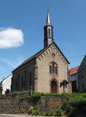
Catholic Churches
Sankt Hubertus
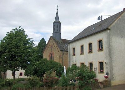 10 m
Chronograms
Sankt Hubertus - Chronogramm
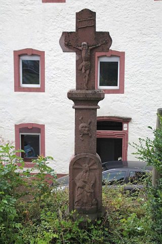 20 m
Wayside Shrines and Stations of the Cross
Schaftkreuz vor der Kirche
Farmhouses and Farm Buildings
Großbäuerliches Wohnhaus
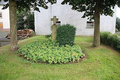 50 m
Wayside Shrines and Stations of the Cross