Farmhouses and Farm Buildings · Undated
Fachwerkhaus
- Listed monument


© GeoBasis-DE / LVermGeoRP, dl-de/by-2-0
There is no picture of this object yet. Do you have a photo that you would like to make available to the Kulturdatenbank? Submit a picture
Classification
- Subject area
- Architectural and Art Monuments
- Category
- Residential and Farm Buildings
- Object type
- Farmhouses and Farm Buildings
- Date
- Undatiert
- Period
- Undated
Location
- District
- Vulkaneifel
- Town
- Daun
- Locality / location
- Pützborn
- Street
- Rotwildstraße 3
- Field name
- Ortslage
- Coordinates
- WGS 84: 50.190268, 6.810020 (Position: exact) WGS 84: 50° 11′ 25.0″ N, 6° 48′ 36.1″ E UTM 32 (ETRS89): E 343678 · N 5562081
Sources
Data sources
On the internet
Last edited: 13 Oct 2008 Object ID: 16546
https://kulturdb.de/en/objekt/16546-daun-fachwerkhaus
Nearby
The nearest objects
No picture
less than 10 m
Farmhouses and Farm Buildings
Fachwerkhaus
No picture
30 m
Farmhouses and Farm Buildings
Wohnteil eines Fachwerk-Quereinhauses
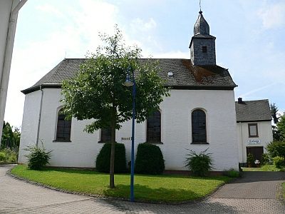 120 m
Catholic Churches
Sankt Hubertus
No picture
170 m
Field Names
Johannesbungert
No picture
270 m
Mills
Ehemalige Mühle am Pützborner Bach
No picture
310 m
Field Names
Auf Kalk
No picture
350 m
Field Names
Unter dem Erdelsrech
No picture
470 m
Wayside Shrines and Stations of the Cross