Place Names / Local History · Gothic
Erste Erwähnung als Wilre Juxta Ham

Description
This description is only available in German.
Translate with Google opens this page in Google Translate (external service)
Auf dem Ritschberg, ursprünglich Gemarkung Beifels, befindet sich eine vorchristliche Wehranlage mit Wallgräben. Erstmals urkundlich erwähnt wurde der Ort im Jahre 1257 als Wilre Juxta Ham, ohne Unterscheidung der heutigen Orte Ober- und Niederweiler. Oberwiller ist erstmals für das Jahr 1473 belegt. Der Ort bildet bis zur französischen Zeit eine eigene Herrschaft im Herzogtum
Luxemburg.
Classification
- Subject area
- History
- Category
- Place Names / Local History
- Date
- 1257
- Period
- Gothic
Location
- District
- Eifelkreis Bitburg-Prüm
- Collective municipality
- Bitburger Land
- Municipality
- Oberweiler
- Field name
- Ortslage
- Coordinates
- WGS 84: 50.042817, 6.441772 (Position: within the village) WGS 84: 50° 02′ 34.1″ N, 6° 26′ 30.4″ E UTM 32 (ETRS89): E 316833 · N 5546527
Sources
Data sources
- © 1998 by ICTeam Internet Consulting GmbH and Silyn-Tek
On the internet
bitburgerland.de/index.php?id=297
Picture credits
- Picture 1: http://www.ngw.nl/int/dld/o/oberweil.htm
Last edited: 5 Sep 2005 Object ID: 1657
https://kulturdb.de/en/objekt/1657-oberweiler-erste-erwaehnung-als-wilre-juxta-ham
Nearby
The nearest objects
 less than 10 m
Coats of Arms
Wappen der Gemeinde Oberweiler
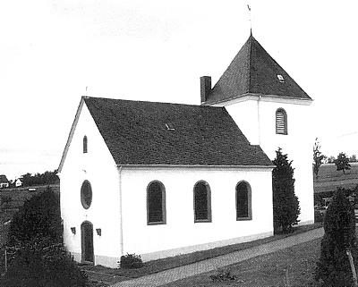 100 m
Catholic Churches
Sankt Hubertus
Field Names
Bei Gillenpeschen
Wayside Shrines and Stations of the Cross
Wegekreuz
Field Names
Backespesch
Field Names
Borngraben
Field Names
In den Gillenpeschen
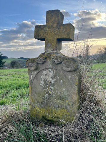 340 m
Wayside Shrines and Stations of the Cross