Field Names · Undated
In den Gillenpeschen


© GeoBasis-DE / LVermGeoRP, dl-de/by-2-0
There is no picture of this object yet. Do you have a photo that you would like to make available to the Kulturdatenbank? Submit a picture
Description
This description is only available in German.
Translate with Google opens this page in Google Translate (external service)
Pesch - Flurname, der auf pascuum = Weide zurückgeht. [1]
Classification
- Subject area
- History
- Category
- Field Names
- Date
- Undatiert
- Period
- Undated
Location
- District
- Eifelkreis Bitburg-Prüm
- Collective municipality
- Bitburger Land
- Municipality
- Oberweiler
- Field name
- In den Gillenpeschen
- Coordinates
- WGS 84: 50.045490, 6.439605 (Position: exact) WGS 84: 50° 02′ 43.8″ N, 6° 26′ 22.6″ E UTM 32 (ETRS89): E 316688 · N 5546829
Sources
Data sources
- [1] Jungandreas, Wolfgang: Historisches Lexikon der Siedlungs- und Flurnamen des Mosellandes. Hrsg. Arbeitsgemeinschaft für Landesgeschichte und Volkskunde des Trierer Raumes; 1962.
On the internet
Last edited: 16 May 2013 Object ID: 27384
https://kulturdb.de/en/objekt/27384-oberweiler-in-den-gillenpeschen
Nearby
The nearest objects
Field Names
Bei Gillenpeschen
Find Sites
Fundstelle
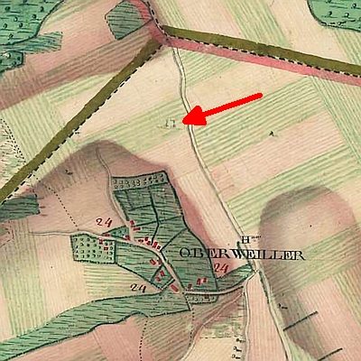 200 m
Execution Sites
Ehemaliger Galgen
 210 m
Wayside Shrines and Stations of the Cross
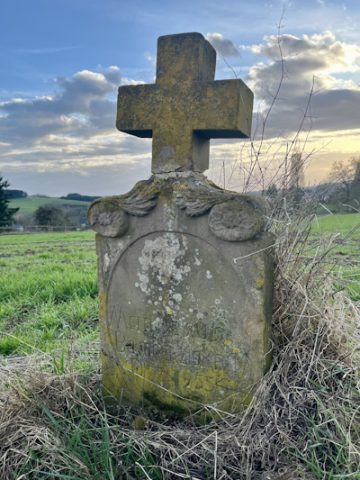
Wegekreuz
 280 m
Catholic Churches
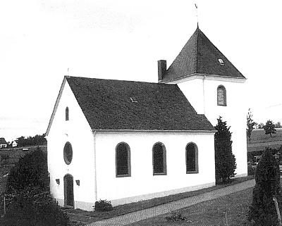
Sankt Hubertus
 340 m
Place Names / Local History
Erste Erwähnung als Wilre Juxta Ham
340 m
Coats of Arms
Wappen der Gemeinde Oberweiler
Field Names