Find Sites · Celtic / Roman Period
Fundstelle


© GeoBasis-DE / LVermGeoRP, dl-de/by-2-0
There is no picture of this object yet. Do you have a photo that you would like to make available to the Kulturdatenbank? Submit a picture
Description
This description is only available in German.
Translate with Google opens this page in Google Translate (external service)
Fundstelle 764
In Höhenlage nordwestlich von Oberweiler wurde 1963 eine hügelartige Erhebung beobachtet, in der sich römische Ziegel, Keramikscherben und Mörtelstücke fanden. Römischer Grabhügel?
Trierer Zeitschr. 30, 1967, 272
in: Römisch-Germanische Forschungen, Bd. 63. Eisenzeitlicher Kulturwandel und Romanisierung im Mosel-Eifel-Raum. Die keltisch-römische Siedlung von Wallendorf und ihr archäologisches Umfeld. Römisch-Germanische Kommission des Deutschen Archäologischen Instituts Frankfurt a. M. Fundstellenkatalog von: Dirk L. Krausse unter Mitarbeit von Antje Fischbock. 2006
Classification
- Subject area
- Archaeological Monuments
- Category
- Settlements
- Object type
- Find Sites
- Date
- Circa 500 vor Chr. bis circa 500 nach Chr.
- Period
- Celtic / Roman Period
Location
- District
- Eifelkreis Bitburg-Prüm
- Collective municipality
- Bitburger Land
- Municipality
- Oberweiler
- Field name
- Auf dem Höchsten
- Coordinates
- WGS 84: 50.046923, 6.437977 (Position: exact) WGS 84: 50° 02′ 48.9″ N, 6° 26′ 16.7″ E UTM 32 (ETRS89): E 316577 · N 5546992
Sources
Data sources
- - Fundstellenkatalog: Die keltisch-römische Siedlung von Wallendorf und ihr archäologisches Umfeld. Dirk L. Krausse unter Mitarbeit von Antje Fischbock, 2006.
- - Dirk Krausse: Eisenzeitlicher Kulturwandel und Romanisierung im Mosel-Eifel-Raum. Verlag: Philipp von Zabern, Mainz, 2006. Beilage 1.
On the internet
Last edited: 24 Dec 2012 Object ID: 25904
https://kulturdb.de/en/objekt/25904-oberweiler-fundstelle
Nearby
The nearest objects
Field Names
In den Gillenpeschen
Field Names
Reutersborn
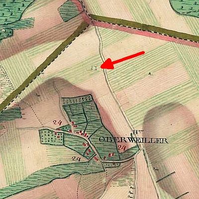 280 m
Execution Sites
Ehemaliger Galgen
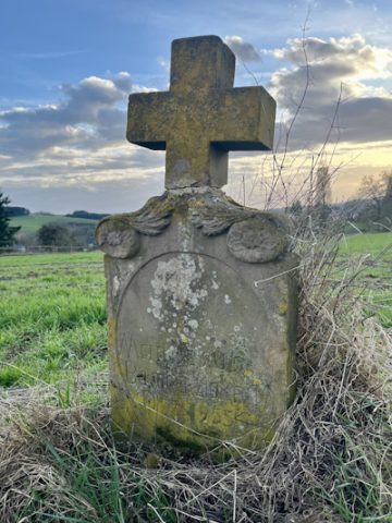 340 m
Wayside Shrines and Stations of the Cross
Wegekreuz
Field Names
Bei Gillenpeschen
Place Names / Local History
Ortsgeschichte Siedlung Waxweilerstraße
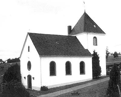 480 m
Catholic Churches
Sankt Hubertus
Field Names