Rocks · 20th Century
Basaltlavabruch mit Wasserfläche
Naturdenkmal
- Listed monument

Description
This description is only available in German.
Translate with Google opens this page in Google Translate (external service)
Die Fläche beträgt ca. 0,5 Hektar. Es handelt sich um einen aufgelassenen Basaltlavabruch mit wassergefüllter Grubensohle, welcher sich zu einem Biotop für Amphibien, Libellen und andere feuchtbiotopabhängige Tierarten entwickelte.
Classification
- Subject area
- Natural Features
- Category
- Rocks
- Date
- 25.04.1983 [Unterschutzstellung]
- Period
- 20th Century
Location
- District
- Vulkaneifel
- Collective municipality
- Daun
- Municipality
- Steineberg
- Field name
- Die Ley
- Coordinates
- WGS 84: 50.179343, 6.916573 (Position: exact) WGS 84: 50° 10′ 45.6″ N, 6° 54′ 59.7″ E UTM 32 (ETRS89): E 351249 · N 5560649
Sources
Data sources
- Rita Gehendges: Naturdenkmale des Landkreises Daun. 1985. Hrsg.: Landkreis Daun.
On the internet
Picture credits
- Picture 1: Peter Valerius, Kordel, 2005.
Last edited: 21 Feb 2012 Object ID: 16602
https://kulturdb.de/en/objekt/16602-steineberg-basaltlavabruch-mit-wasserflaeche
Nearby
The nearest objects
Wayside Shrines and Stations of the Cross
Wegekreuz
Wayside Shrines and Stations of the Cross
Wegekreuz
Burial Mounds
Grabhügel
Volcanoes
Vulkan Steineberger Ley
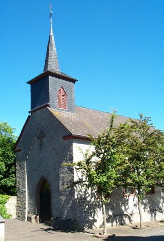 180 m
Catholic Churches
Sankt Franziskus
Viewpoints
Aussichtspunkt
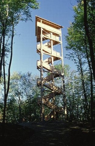 190 m
Observation Towers
Vulcano Infoplattform
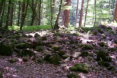 210 m
Rocks