Maar Lakes · Undated
Schalkenmehrener Maar


Description
This description is only available in German.
Translate with Google opens this page in Google Translate (external service)
Circa 3km südöstlich von Daun, nahe dem Weinfelder Maar. Benannt nach dem am Südufer gelegenen Dorf Schalkenmehren. Wasserfläche 21,6 ha, Tiefe 21m. Durchmesser 575m.
Classification
- Subject area
- Natural Features
- Category
- Maars
- Object type
- Maar Lakes
- Date
- Undatiert
- Period
- Undated
Location
- District
- Vulkaneifel
- Collective municipality
- Daun
- Municipality
- Schalkenmehren
- Field name
- [Schalkenmehrener Maar]
- Coordinates
- WGS 84: 50.169451, 6.858099 (Position: exact) WGS 84: 50° 10′ 10.0″ N, 6° 51′ 29.2″ E UTM 32 (ETRS89): E 347043 · N 5559667
Sources
Data sources
- Karte Vulkaneifel, Sehenswürdigkeiten, Daun 1996
On the internet
Picture credits
- Picture 1: Archiv der Verbandsgemeinde Daun (1904)
- Picture 2: Fredy Lange (um 1963). Sammlung Wilma Herzog, Gerolstein, 2012. © Edith Lange-Löckenhoff.
- Picture 3: © Friedbert Wißkirchen, Daun, 2009
- Picture 4: © Michael Schröder, Daun. 2002. http://www.michaelschroeder.de/
- Picture 5: © Ingrid Heintz
- Picture 6: © Friedbert Wißkirchen, Daun, 2010.
Last edited: 8 Aug 2010 Object ID: 16656
https://kulturdb.de/en/objekt/16656-schalkenmehren-schalkenmehrener-maar
Nearby
The nearest objects
Field Names
Auf dem Bungert
Field Names
Maarpesch
 310 m
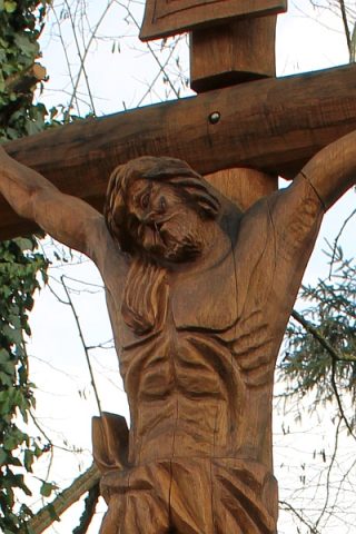
Wayside Shrines and Stations of the Cross
Scholzen-Kreuz
Field Names
Aufm Bungert
 370 m
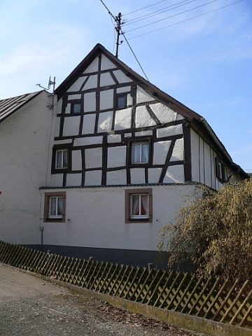
Farmhouses and Farm Buildings
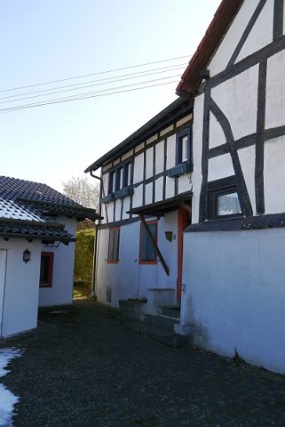
Fachwerkhaus
 390 m
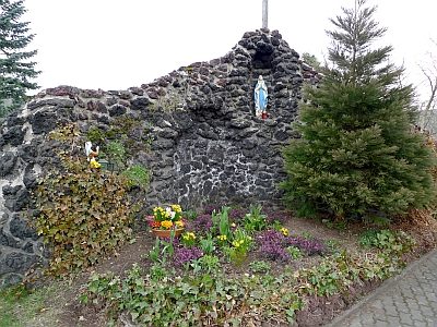
Marian Grottoes
Mariengrotte vor der Pfarrkirche Sankt Martin
 410 m
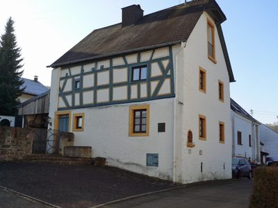
Farmhouses and Farm Buildings
Haus Hinneres
 420 m
Farmhouses and Farm Buildings