Street Names · Baroque / Rococo
Herrengasse


Description
This description is only available in German.
Translate with Google opens this page in Google Translate (external service)
Sie wurde sogenannt weil in ihr das Pfarrhaus liegt. Im Pfarrgarten war einmal ein Mauerturm verzeichnet. Die erhaltenen Häuser stammen im Kern alle aus dem 18. Jahrhundert Inschriftlich datiert sind Nr. 5 (1754) und das Pfarrhaus (Nr. 9) von 1759.
Classification
- Subject area
- History
- Category
- Place Names / Local History
- Object type
- Street Names
- Date
- 18. Jahrhundert
- Period
- Baroque / Rococo
Location
- District
- Eifelkreis Bitburg-Prüm
- Collective municipality
- Bitburger Land
- Municipality
- Dudeldorf
- Street
- Herrengasse
- Field name
- Ortslage
- Coordinates
- WGS 84: 49.974705, 6.638505 (Position: exact) WGS 84: 49° 58′ 28.9″ N, 6° 38′ 18.6″ E UTM 32 (ETRS89): E 330678 · N 5538491
Sources
Data sources
- Homepage der Initiative Region Trier e.V. Sehen & Erleben - Bau-Denkmäler http://www.regiontrier.de/cgi/bin
On the internet
Picture credits
Last edited: 7 Dec 2008 Object ID: 16696
https://kulturdb.de/en/objekt/16696-dudeldorf-herrengasse
Nearby
The nearest objects
Farmhouses and Farm Buildings
Wohnhaus
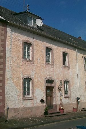 10 m
Rectories
Ehemaliges Pfarrhaus
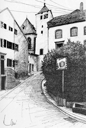 30 m
Historic Townscapes
Historisches Ortsbild
Farmhouses and Farm Buildings
Scheunenzeile östlich von Herrengasse 1
 40 m
Catering, Inns and Hotels
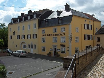
Gasthaus Zum Alten Brauhaus
 40 m
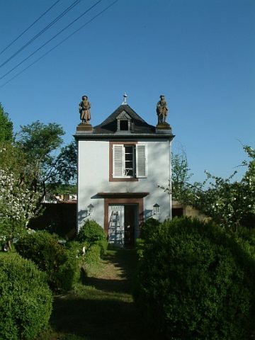
Parish and Monastery Gardens
Zum Alten Brauhaus - Ehemaliger Pfarrgarten
Farmhouses and Farm Buildings
Wohnhaus
Farmhouses and Farm Buildings