Historic Townscapes · Early Middle Ages / Romanesque
Historisches Ortsbild
- Protection of cultural property (Hague Convention)


Description
This description is only available in German.
Translate with Google opens this page in Google Translate (external service)
Die mittelalterlich Atmosphäre verleiht dem Ort einen eigentümlichen Reiz. Der Ort war bis zur französischen Revolution Grenzort des Herzogtums Luxemburg gegen Kurtrier und erhielt 1345 von König Johann von Böhmen das Recht auf den Bau einer Mauer.
Classification
- Subject area
- Architectural and Art Monuments
- Category
- Historic Townscapes
- Date
- Circa 500 nach Chr. bis circa 1220
Location
- District
- Eifelkreis Bitburg-Prüm
- Collective municipality
- Bitburger Land
- Municipality
- Dudeldorf
- Field name
- Ortslage
- Coordinates
- WGS 84: 49.974779, 6.638157 (Position: within the village) WGS 84: 49° 58′ 29.2″ N, 6° 38′ 17.4″ E UTM 32 (ETRS89): E 330653 · N 5538500
Sources
Data sources
- DuMont Reiseführer: Die Eifel, 1994
On the internet
Picture credits
Last edited: 7 Oct 2003 Object ID: 340
https://kulturdb.de/en/objekt/340-dudeldorf-historisches-ortsbild
Nearby
The nearest objects
Farmhouses and Farm Buildings
Scheunenzeile östlich von Herrengasse 1
Farmhouses and Farm Buildings
Wohnhaus
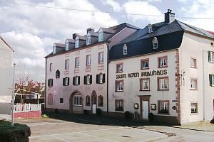 30 m
Street Names
Herrengasse
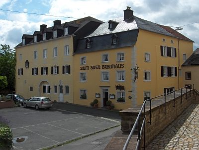 30 m
Catering, Inns and Hotels
Gasthaus Zum Alten Brauhaus
 40 m
Rectories
Ehemaliges Pfarrhaus
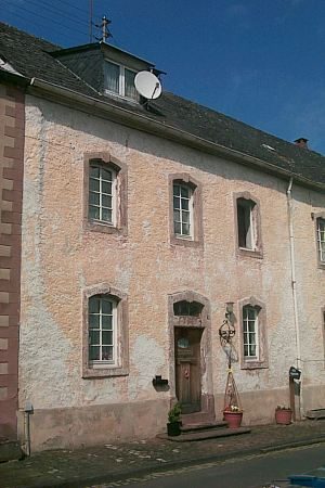
Farmhouses and Farm Buildings
Wohnhaus
 40 m
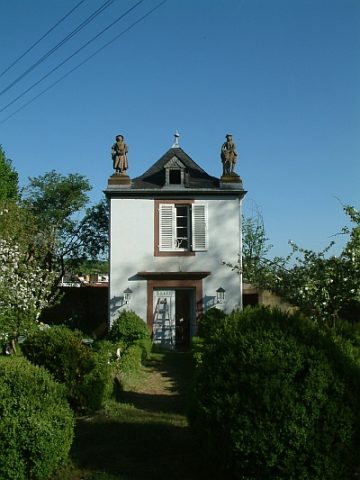
Parish and Monastery Gardens
Zum Alten Brauhaus - Ehemaliger Pfarrgarten
Farmhouses and Farm Buildings