Chapels · 20th Century
Kapelle


Description
This description is only available in German.
Translate with Google opens this page in Google Translate (external service)
Im Distrikt Hinkelsbach an der Ortsgrenze zur Gemeinde Schutz. [1]
Classification
- Subject area
- Architectural and Art Monuments
- Category
- Religious Buildings
- Object type
- Chapels
- Date
- 1951
- Period
- 20th Century
Location
- District
- Vulkaneifel
- Collective municipality
- Daun
- Municipality
- Bleckhausen
- Field name
- Hinkelsbach
- Coordinates
- WGS 84: 50.130734, 6.762147 (Position: exact) WGS 84: 50° 07′ 50.6″ N, 6° 45′ 43.7″ E UTM 32 (ETRS89): E 340062 · N 5555564
Sources
Data sources
- [1] Helmut Bauer, Trier, 2014.
On the internet
Picture credits
Last edited: 27 Jul 2014 Object ID: 16745
https://kulturdb.de/en/objekt/16745-bleckhausen-kapelle
Nearby
The nearest objects
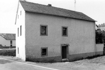 180 m
Mills
Hinkelsmühle (2)
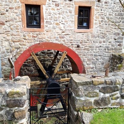 180 m
Mills
Hinkelsmühle (1)
No picture
180 m
Field Names
Linnenpesch
No picture
220 m
Farmhouses and Farm Buildings
Trierer Quereinhaus
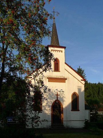 230 m
Catholic Churches
Kirche Sankt Barbara
No picture
290 m
Field Names
Backespesch
No picture
300 m
Wayside Shrines and Stations of the Cross
Schaftkreuz aus Sandstein
No picture
370 m
Field Names