Catholic Churches · Gothic
Ehemalige Kirche
Ehemalige Pfarrkirche


© GeoBasis-DE / LVermGeoRP, dl-de/by-2-0
There is no picture of this object yet. Do you have a photo that you would like to make available to the Kulturdatenbank? Submit a picture
Description
This description is only available in German.
Translate with Google opens this page in Google Translate (external service)
[…] und zuzeiten des Trierer Erzbischofs Johann zwischen 1190 und 1212 wurde beurkundet, daß "Olmeit" zum Kloster Sankt Irminen bzw. Oeren gehörte. Es bildete bis 1803 mit Franzenheim zusammen eine Pfarrei, deren Kirche um 1330 bereits genannt wird. Sie stand auf dem Thomasberge, bis sie 1794 zerstört wurde, nachdem 1648 - also am Ende des 30jährigen Krieges - ihre Dächer abgebrannt waren. [1]
Classification
- Subject area
- Architectural and Art Monuments
- Category
- Religious Buildings
- Object type
- Catholic Churches
- Date
- Um 1330
- Period
- Gothic
Location
- District
- Trier-Saarburg
- Collective municipality
- Ruwer
- Municipality
- Ollmuth
- Field name
- An der Thomaskirche
- Coordinates
- WGS 84: 49.678570, 6.696390 (Position: exact) WGS 84: 49° 40′ 42.9″ N, 6° 41′ 47.0″ E UTM 32 (ETRS89): E 333816 · N 5505441
Sources
Data sources
- [1] Edmund Jäger: Ollmuth - geschichtsbewußt und zukunftsorientiert. In: Kreisjahrbuch Trier-Saarburg, 1988.
On the internet
Last edited: 16 Aug 2022 Object ID: 16754
https://kulturdb.de/en/objekt/16754-ollmuth-ehemalige-kirche
Nearby
The nearest objects
 80 m
Wayside Shrines and Stations of the Cross
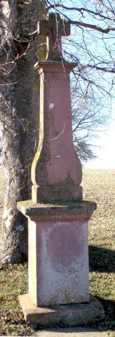
Lindenkreuz
 80 m
Chapels
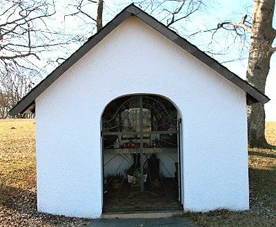
Thomaskapelle
 80 m
Viewpoints
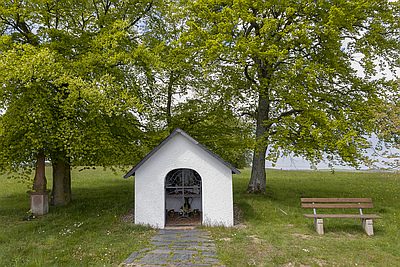
Aussichtspunkt Thomaskapelle
Field Names
Am Bruderborn
Field Names
Am Rödchen
Extraction and Processing of Raw Materials
Halde - Versuch auf Dachschiefer
Field Names
In der Wolfskaul
 620 m
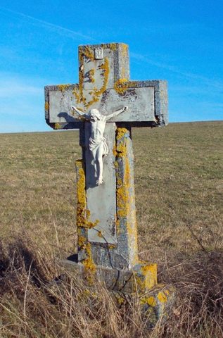
Wayside Shrines and Stations of the Cross