Ollmuth
27 heritage sites in Ollmuth in the Kulturdatenbank Region Trier.
The map shows all 27 results.
-
Am Bruderborn
Field Names ID 30853
-
Am Maiborn
Field Names ID 30837
-
Am Rödchen
Field Names ID 43946
-
Aufm Hanfgarten
Field Names ID 27855
-
Aufm Rödchen
Field Names ID 43935
-
Aussichtspunkt Thomaskapelle
Viewpoints ID 16763
-
Bei der Sandkaul
Field Names ID 40701
-
Bei der Steinkaul
Field Names ID 27729
-
Ehemaliger Bleichplatz für Wäsche
Historic Townscapes Washing Places ID 33270
-
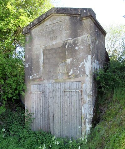
Ehemaliges Wasserwerk Ollmuth
Water Supply Waterworks ID 50538
-
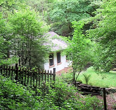
Geizenburger Mühlchen
Ehemalige Mühle an der Ruwer
Engineering Structures and Industrial Sites Mills ID 45767
-
Halde - Versuch auf Dachschiefer
Economy, Trade and Transport Extraction and Processing of Raw Materials ID 50558
-
Hinter dem langen Bungert
Field Names ID 28048
-
Im Rödchen
Field Names ID 43944
-
Im Sehrergrund
Field Names ID 46888
-
Im Sehrergrund
Field Names ID 46889
-
Im langen Bungert
Field Names ID 28021
-
Kirchenkäulchen
Field Names ID 46298
-
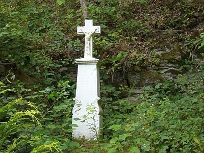
Kreuz an der Ruwerbrücke
Religious Buildings Wayside Shrines and Stations of the Cross ID 2514
-
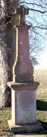
Lindenkreuz
Religious Buildings Wayside Shrines and Stations of the Cross ID 2973
-
Ober dem Hanfgarten
Field Names ID 27849
-
Ober dem Sehrergrund
Field Names ID 46935
-
Ortsname
Place Names / Local History ID 1822
-
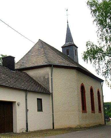
Sankt Thomas
Religious Buildings Catholic Churches ID 16766
-
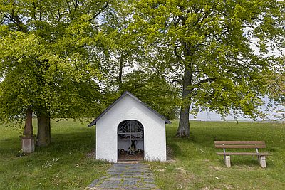
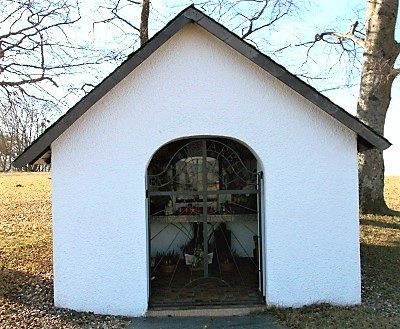
Thomaskapelle
Religious Buildings Chapels ID 1823
-
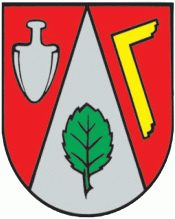
Wappen der Gemeinde Ollmuth
Coats of Arms ID 50578